Announcing a new version of our Streets map style with extra features, available now. It is ready to be integrated, ready to be customized, and ready to power your next application.
Streets has been our flagship map product and the definitive reference for users globally. Primarily designed for navigation, it is crucial for high-demand uses like logistics, fleet management, delivery apps, bike-sharing, and parking solutions.
This new Streets version introduces significant changes: more data, new layers, and a refined design that further prioritizes navigation.
Clarity and consistency: see the road ahead
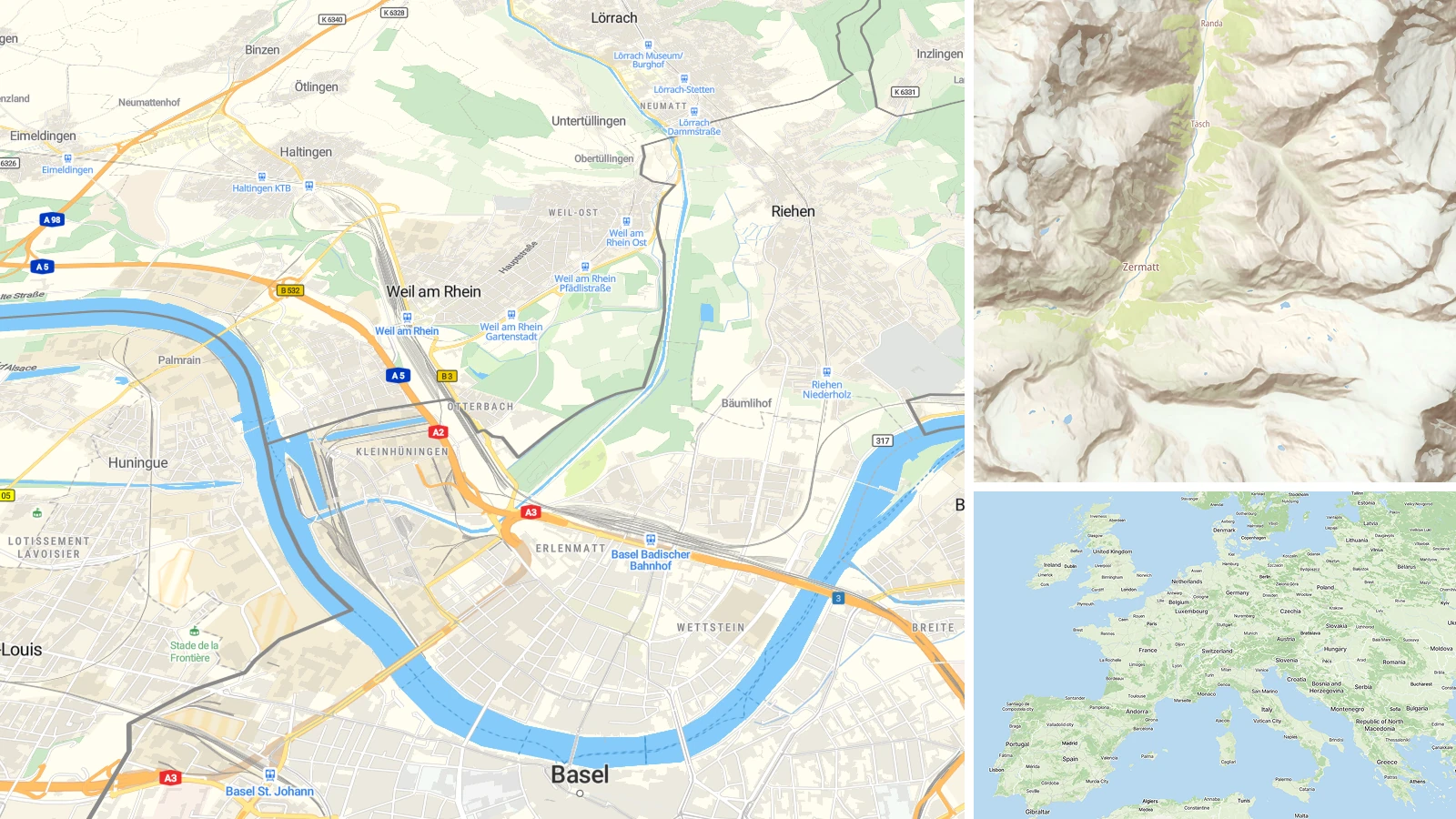
The cartography of the new Streets map has been redesigned for superior legibility and a clearer hierarchy.
- Refined network: A clearer road types hierarchy, wider road lines across all zoom levels, and improved network verticality.
- Localized shields: Styled with the same color and shape used in each country’s national map, allow drivers to instantly recognize the road ahead.
- Intuitive design: The map makes locating yourself simple, even in the middle of complex traffic interchanges.
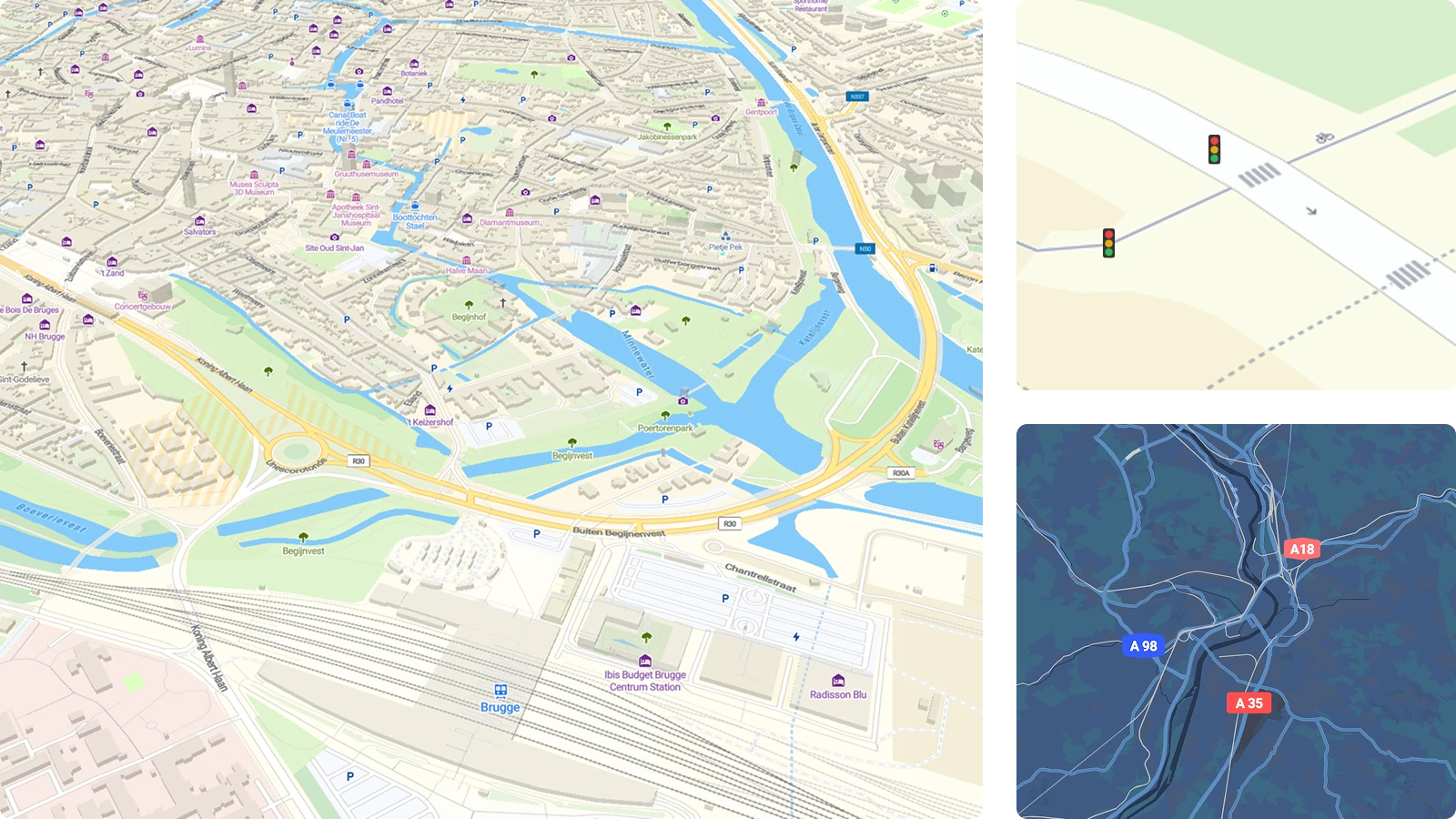
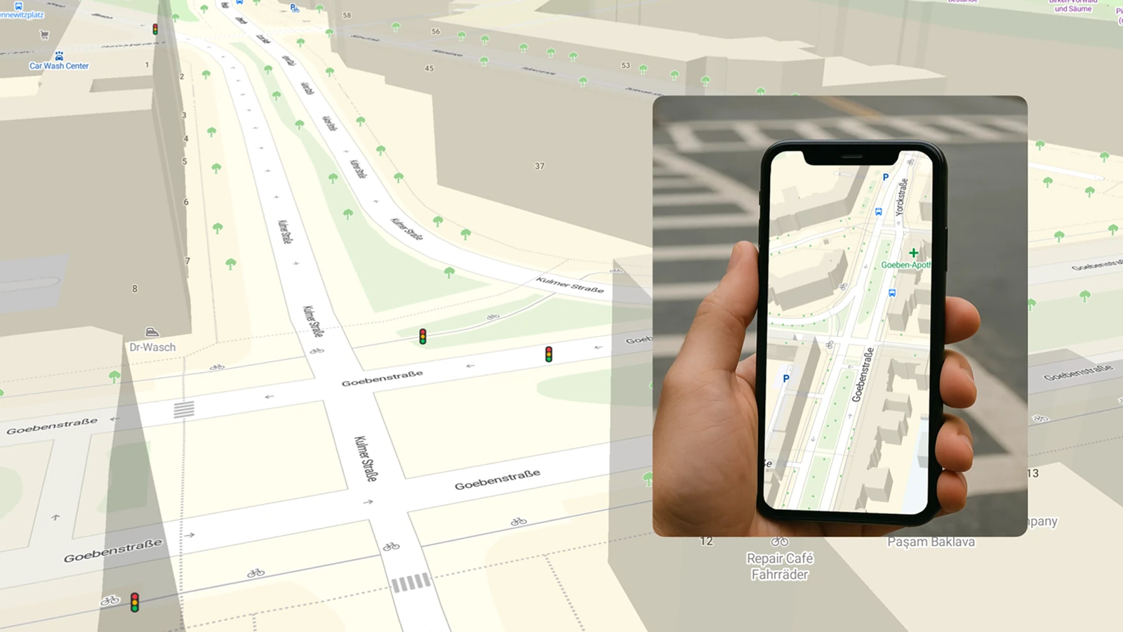
Last-mile precision: street-level intelligence
For last-mile delivery and localized apps, efficiency is measured in seconds. The new Streets map provides the granular detail needed to eliminate guesswork and guide users directly to their destination.
As you zoom in to the street level, key pedestrian and vehicle guidance features become visible, including:
- Traffic lights and crossings
- Footways and cycleways
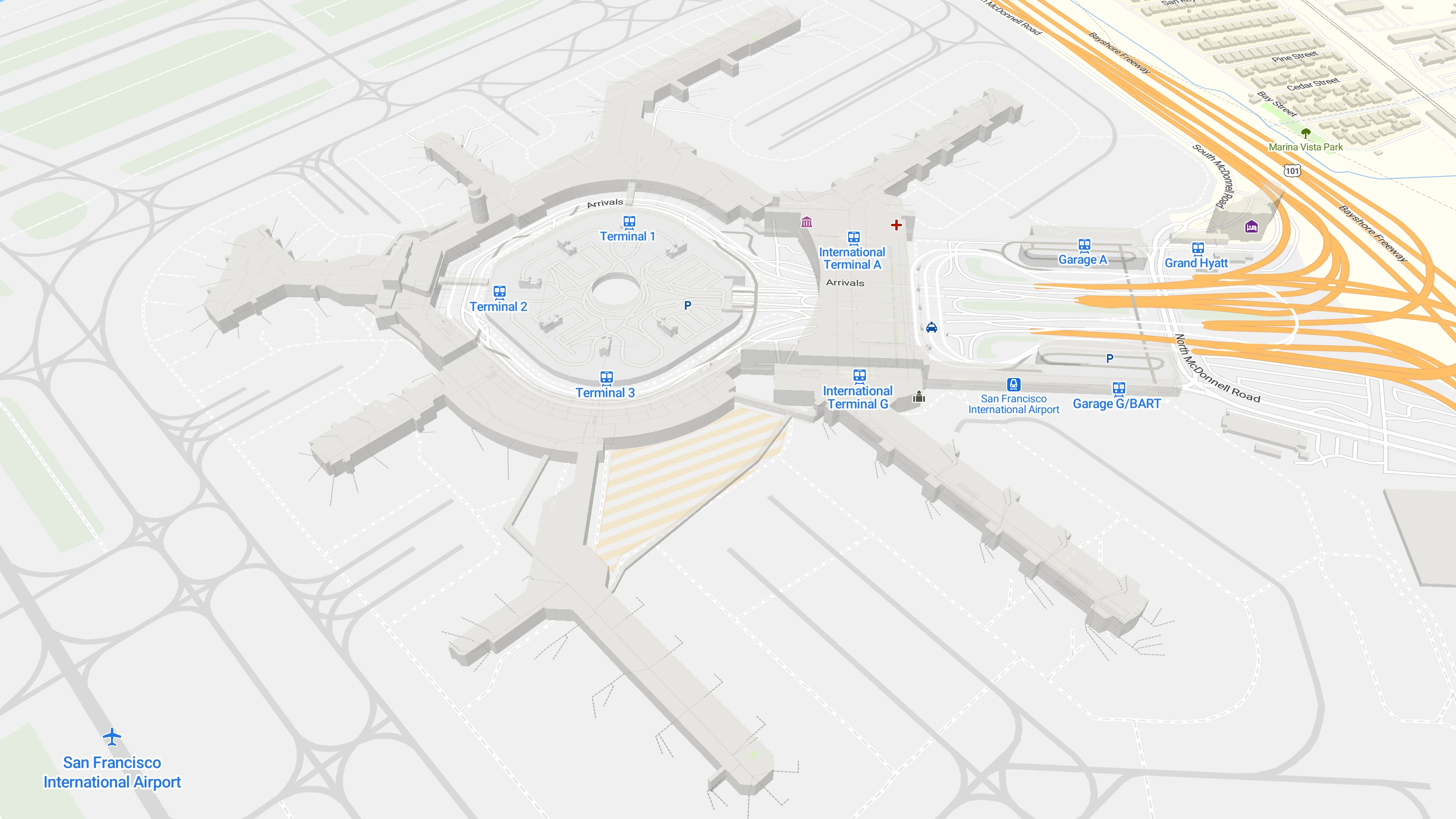
- Detailed 3D buildings and house numbers
- Parking entrances
These detailed features allow a delivery person to navigate safely and efficiently to the right address.
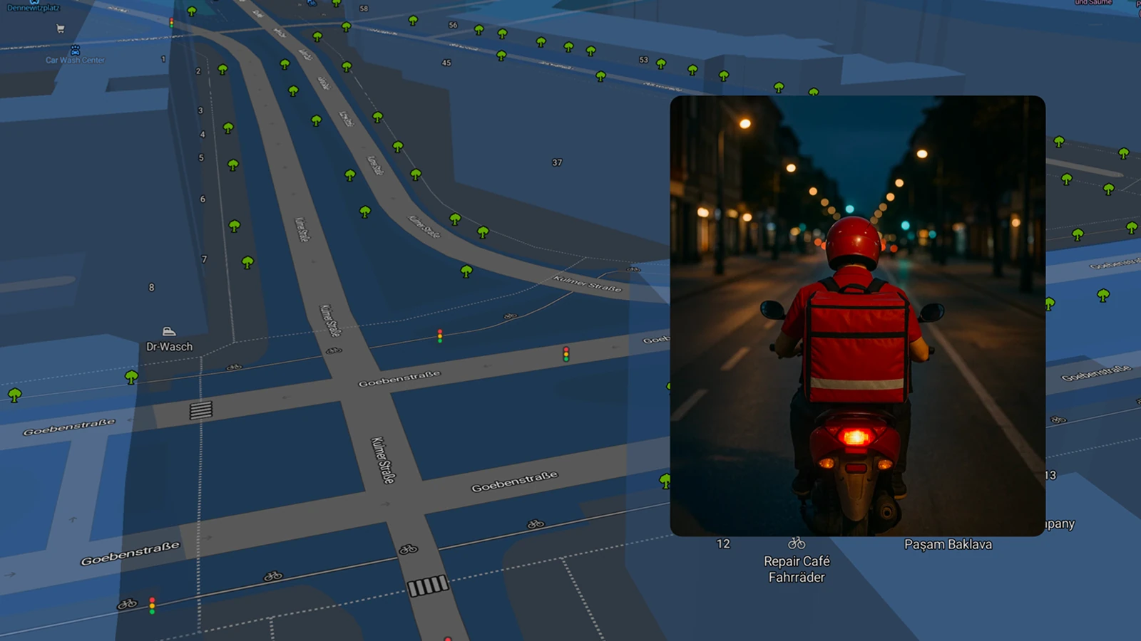
Navigate the night: Streets dark mode
Journeys don’t stop when the sun goes down. The new Streets dark mode variant ensures the map remains perfectly readable in low light, dark UIs, or tunnels. With colors meticulously tuned for nighttime navigation, the experience is just as smooth and reliable as during the day.
And for developers, the switch is simple: achieve the transition to Dark mode with a single line of code using the MapTiler SDK.
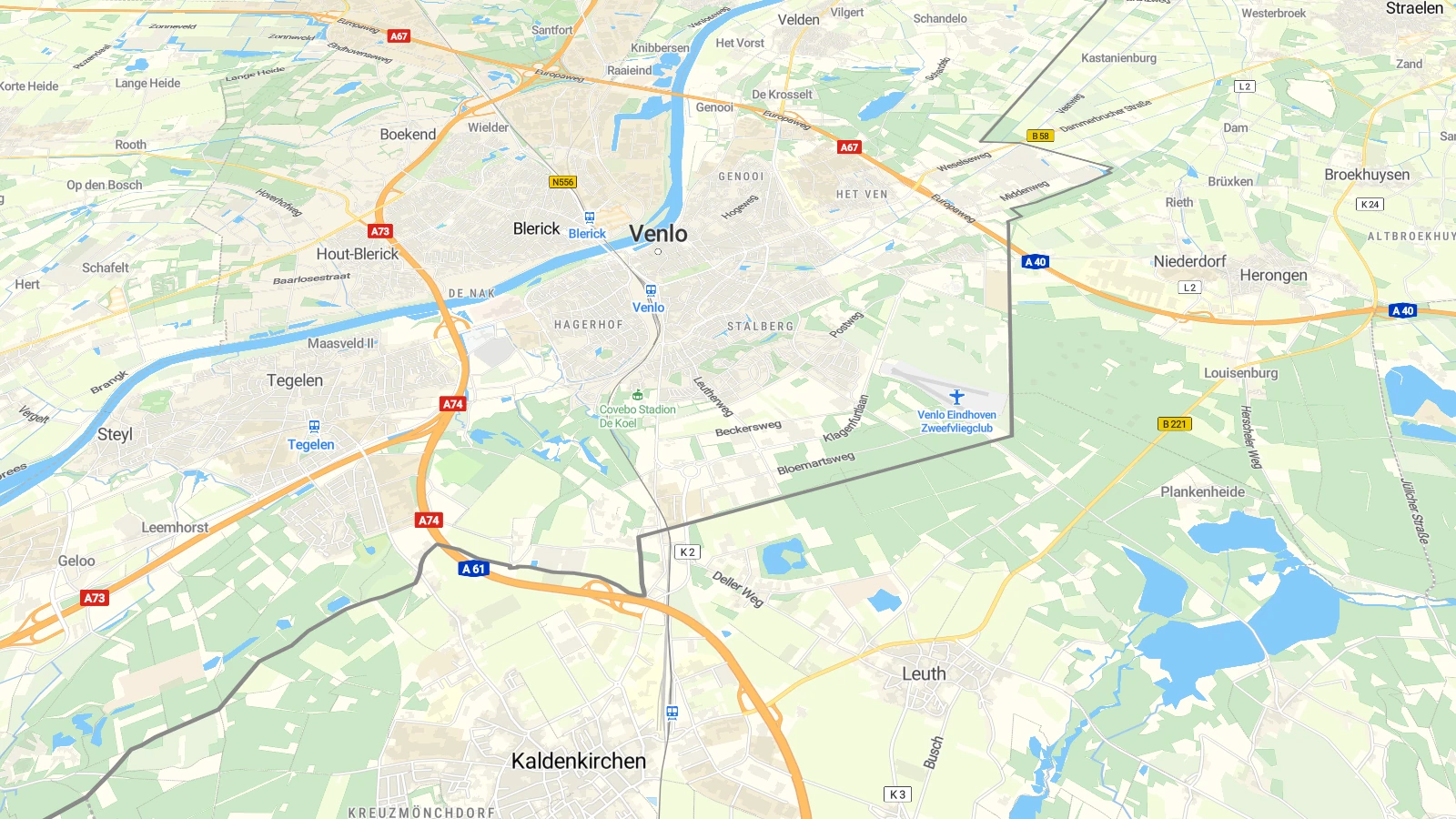
Transit networks: connecting the city
Transit networks are now more prominent on the new Streets, integrating urban infrastructure directly into the basemap.
From airports to stations, metros, and bus stops, every mode of transport is clearly represented. All transit-related features are visually connected by a distinct blue color. Combined with points of interest and street-level detail, the new version includes everything your transit or city app could need.
 Experience the next level of precise navigation with the new Street map. Start building apps with your MapTiler account.