Routing and Logistics
Global, high-performance routing APIs built for heavy fleets, complex deliveries, outdoor activities, door-to-door navigation, and massive scale.

Routing for the MapTiler platform
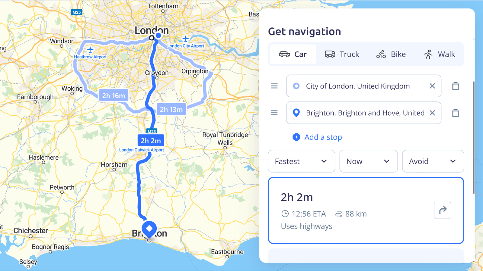
Directions API
Multi-point routing with precise maneuvers, localized instructions, and profiles for cars, trucks, bicycles, and pedestrians.
Ideal for the door-to-door navigation essential to applications ranging from logistics and outdoor activities to real estate.
A unified location platform
Reduce vendor complexity and streamline your architecture: get geocoding, highly customizable maps, and enterprise routing through a single, unified API and one contract.

Hiking and biking routes
As well as cars and trucks, MapTiler provides specific options for routing bicycles and walkers.
Bike types let you determine which trails and paths are suitable to navigate.
Set personalized average speeds to make your arrival times more accurate.

More features under development

Distance matrix API
Ultra-fast travel time and distance matrices for 1-to-many or many-to-many fleet optimization.

Map matching API
Clean up noisy GPS traces by snapping your fleet's historical data precisely to the legal road network, while retrieving speed limit data.

Isochrones API
Generate highly accurate reachable areas based on drive time or distance. Perfect for real estate and delivery zones.

Route optimization API
Use integrated solvers to calculate the most efficient order of stops, respecting time windows and vehicle capacities.
Terrain-aware routing
Our routing engine will use a high-precision global Digital Elevation Model (DEM) to provide accurate travel times and energy estimates for logistics and outdoor applications based on real terrain gradients.

Future routing benefits
Fleet management and telematics
Snap GPS traces to the road network to monitor routes & speeds traveled.

On-demand delivery
Power your Traveling Salesman Problems (TSP) with massive, low-latency distance matrices.

Real estate and urban planning
Visualize commute times and service areas instantly with isochrones.

Join Beta to help future development
Our Directions API is out now, but we are still working on the rest of the APIs. We'd really appreaciate your feedback to help shape the product.
Click the button below if you want early access and let us know what you think: