Customer stories
OldMapsOnline: Building a service with MapTiler
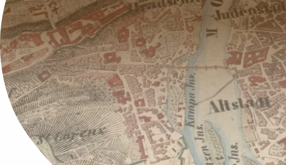
OldMapsOnline is an incredible online resource for discovering history. You can use a time slider and a map to explore the past anywhere on the planet down to street level. The site helps you understand historical context, including the names of countries, rulers, and kings from the past. It also features information about battles and famous people, such as artists, musicians, and mathematicians, from different eras.
Advanced Mapping SDK
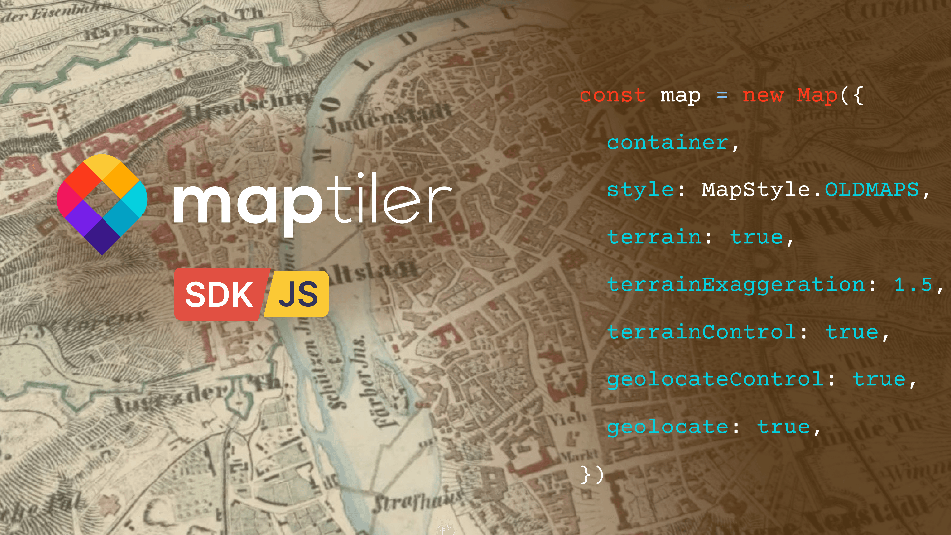
OldMapsOnline makes full use of MapTiler's JavaScript SDK. This fully featured map development environment is easy to use and provides super smooth navigation, 3D landscapes, and advanced features like Augmented Reality. All this can be achieved with very little code.
Thanks to the development work we did for OldMapsOnline MapTiler SDK will soon have Timeline capabilities.
Customized Maps
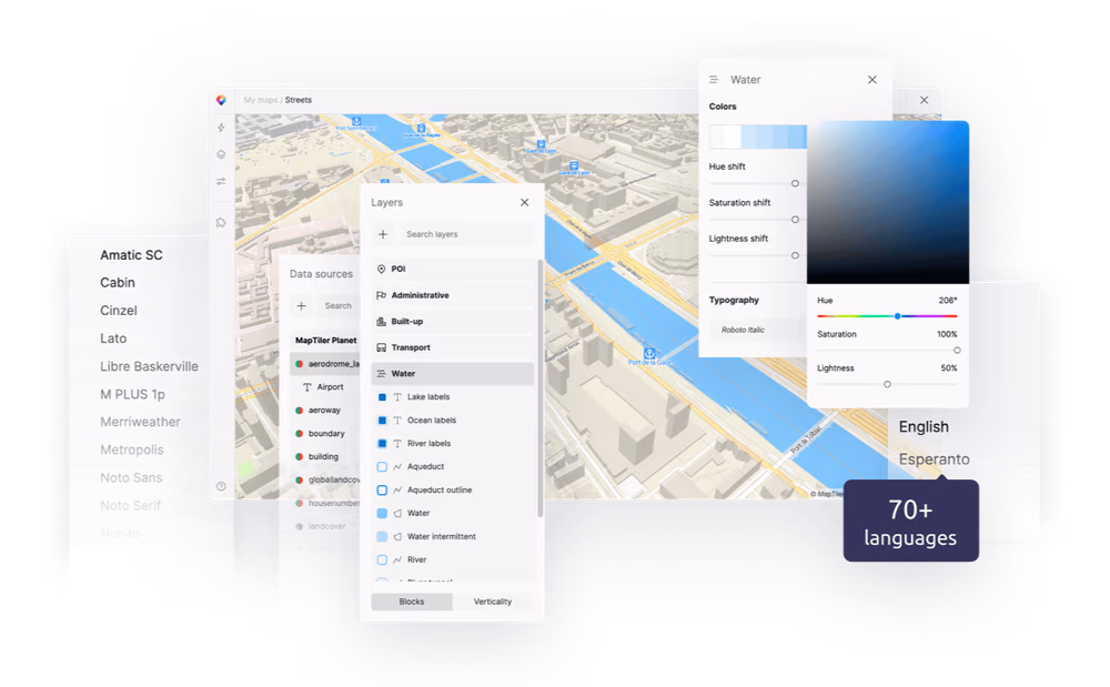
Designing a bespoke set of maps was key to the success of OldMapsOnline. The new Customize map design tool was the perfect solution for the project designers to create a beautiful design to highlight the historical data. Features including the battles, boundaries, and areas were all styled using our easy to use, yet powerful design tool.
Map Services via WMTS
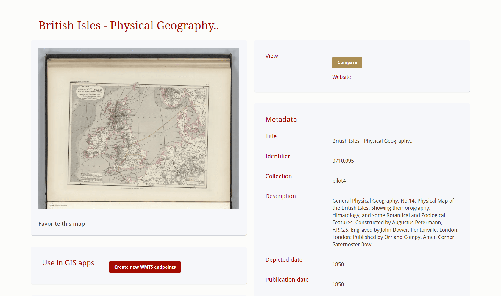
OldMapsOnline lets you create Web Map Tile Services (WMTS) to stream historical maps into other applications. These WMTS are made available from OldMapsOnline via your Cloud account. You are guided through the process if you aren't already an account holder.
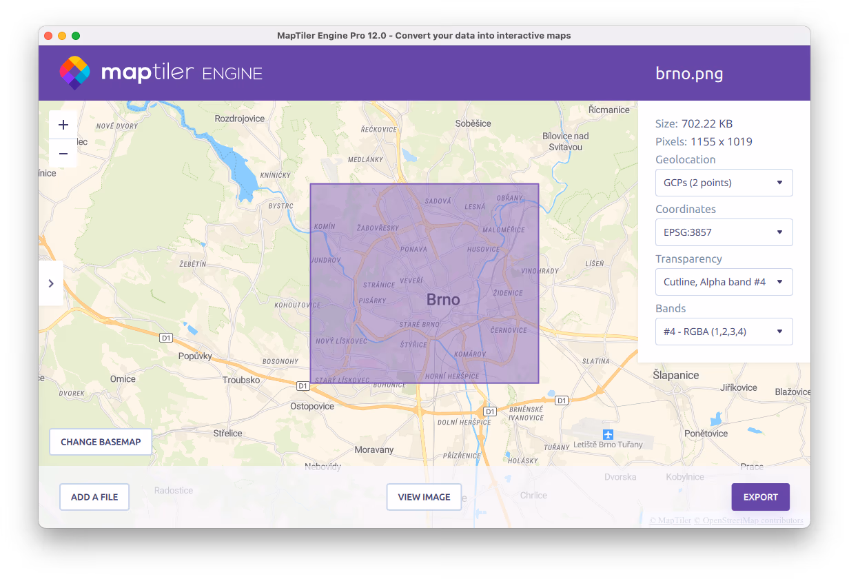
Spatial Data Processing
Engine was used to process large amounts of spatial data into the vector tiles used in the interactive visualizations. The georeferencer that comes as part of Engine is also utilized by OldMapsOnline.
Over the lifetime of the project, thousands of historical maps have be allocated their "real world" position, enabling you to search for them by location.
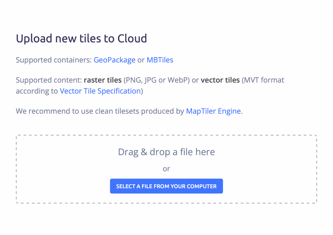
Global Map Hosting
OldMapsOnline trusts the Cloud infrastructure to host and serve more than 500,000 historical maps and over 2 million features with high reliability, security, and speed.
MapTiler also provides the basemaps displayed behind the historical ones, which have been styled using the Customize map design tool.
Are you interested?
-
Want more information?
-
Have a question?
-
Need a demo with presented functionality?
-
Or just want to chat with us?

