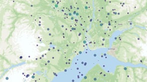
Base mapping for overlays
The perfect lightweight and informative basemap for overlaying your own geodata.

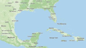
Dark and Light maps for overlays


The foundation for innovation
Clear and unobtrusive, Base lets your data take center stage while still providing all the essential geographic context.
Whether it’s used for a store locator, a citizen app or a business intelligence dashboard, it fits effortlessly.
Quick customization
With its clear uncomplicated cartography, Base is the easiest map style to customize.
The simple color pallet works brilliantly with quick edits to the hue, saturation and lightness.

Fonts for any language or script
High-quality multilingual fonts support a global language set for cartographers and designers.
Adaptable font weights and sizes ensure readability.
Over 70 languages are available on MapTiler maps, with fallback fonts for edge cases.
Start using Base via Maps API
https://api.maptiler.com/maps/base-v4/?key=YOUR-API-KEY