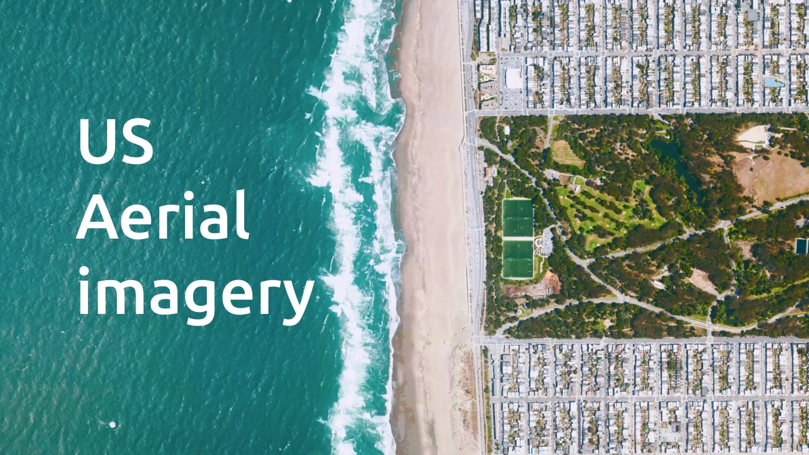
We recently updated the MapTiler Satellite all over France! Most of the high-resolution aerial imagery available as open data in the country is now seamlessly integrated into our global Satellite map and commercial datasets. This brings much more details at higher zoom levels, suitable for GIS applications and accurate web maps alike.
Explore French cities, towns, and villages
Zoom in the center of Paris (check out Le Louvre, CDG Airport or La Défense), Lyon, Marseille or (almost) any other city, town or village! Explore the variety of landscapes from Brittany to Côte d’Azur and spot the main infrastructures or popular landmarks from above.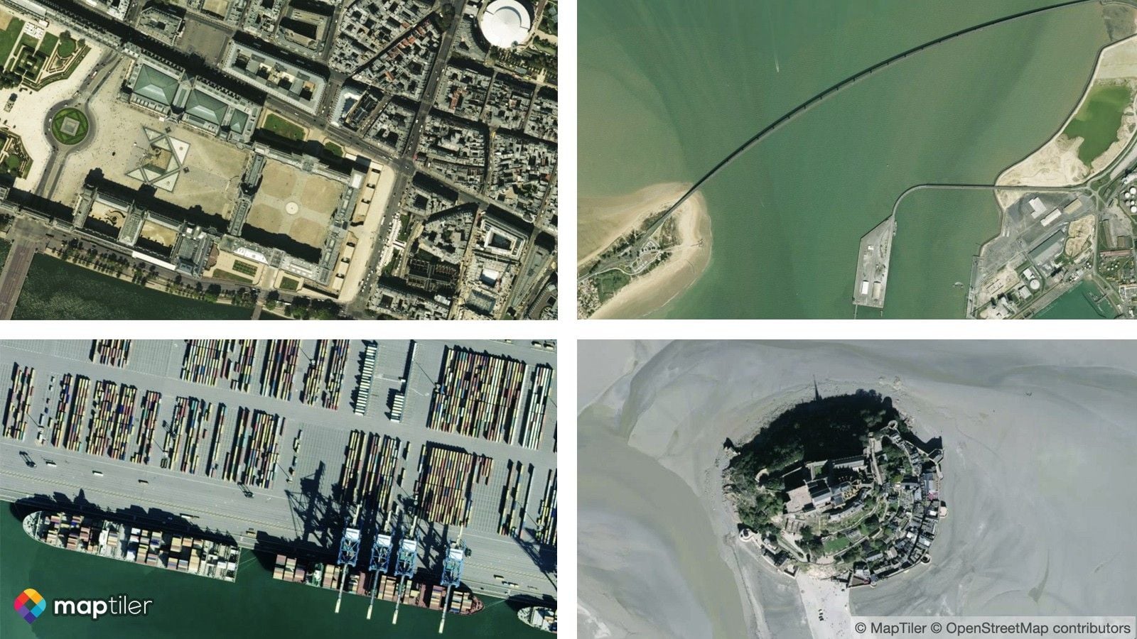
Serving open imagery at scale
Fresh aerial imagery is available from zoom level 14 to 18. In total, 65 départements and 4 overseas territories are covered at 20cm/pixel. Four individual cities were also added up to zoom 19, namely Lyon (10cm/px), Nancy (7,5cm/px), Bordeaux (10cm/px) and Bayonne (6cm/px). More than two terabytes of imagery were processed by MapTiler Engine, and every part is carefully adjusted to fit our map color tones. France high-resolution cover map
High-resolution aerial imagery is being progressively released by Institut Géographique National and regional spatial data infrastructures, and we are delighted to provide it all as a single, fast and reliable map service.
Use the map anywhere
This update covers significant parts of the country and introduces much better mapping experiences with MapTiler Satellite, up to 1:1000. Use it in any web application, mobile app or your favorite GIS software.
Start using it today with a free MapTiler Cloud account!
 MapTiler Satellite on top of 3D terrain (South French Alps)
MapTiler Satellite is available through standard XYZ tile service, WMTS, and our Static Maps API. Contact us with any questions regarding this update.