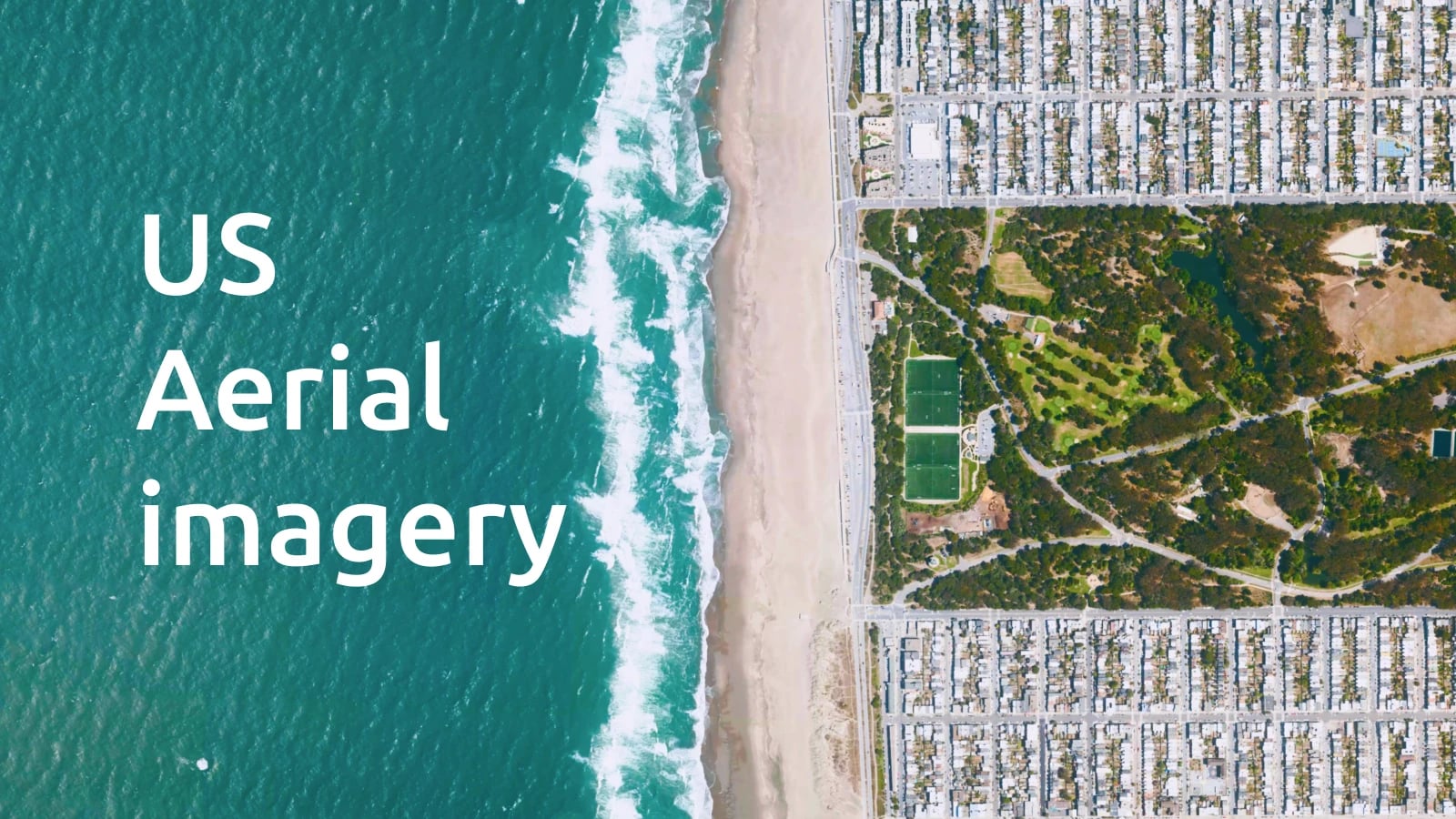
Every day roads get built, neighborhoods grow, and rivers shift. That's why we regularly update our satellite and aerial imagery to bring those changes to you. Our maps evolve together with the world.
Our latest update has new high-resolution aerial imagery for two US states: Pennsylvania and Missouri. Pennsylvania gets newer coverage, much sharper imagery for Pittsburgh, and South Missouri gets a full refresh with 2024 imagery.
Explore Satellite maps Create a free account
USA: Pennsylvania
We replaced our 2021 imagery for western and central Pennsylvania with new 2024 aerial captures at 60 cm/px. See up to three years of change, from new housing developments and widened highways to updated farmland and forest boundaries.
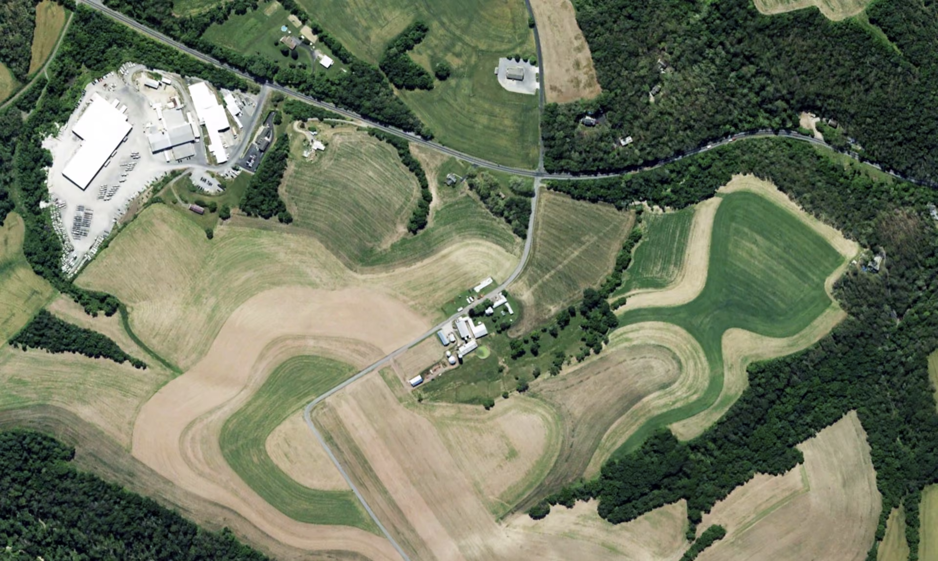
Central Pennsylvania
Erie and Allegheny counties: 30 cm/px detail
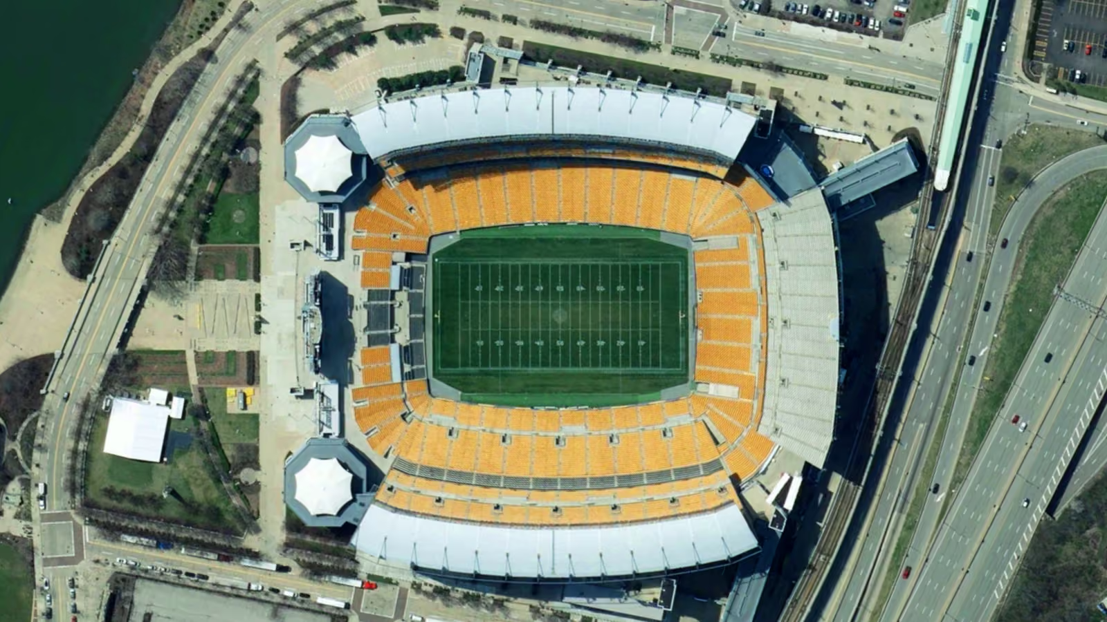
For Erie County and Allegheny County, home to Pittsburgh, we went even further. These areas now feature aerial imagery at 30 cm/px, four times the pixel density than before. At this resolution, you can make out lane markings, rooftop structures, parked cars, and individual trees.
It's ideal for anyone who needs high-resolution satellite and aerial imagery for urban planning, real estate, utilities, or emergency response in the region.
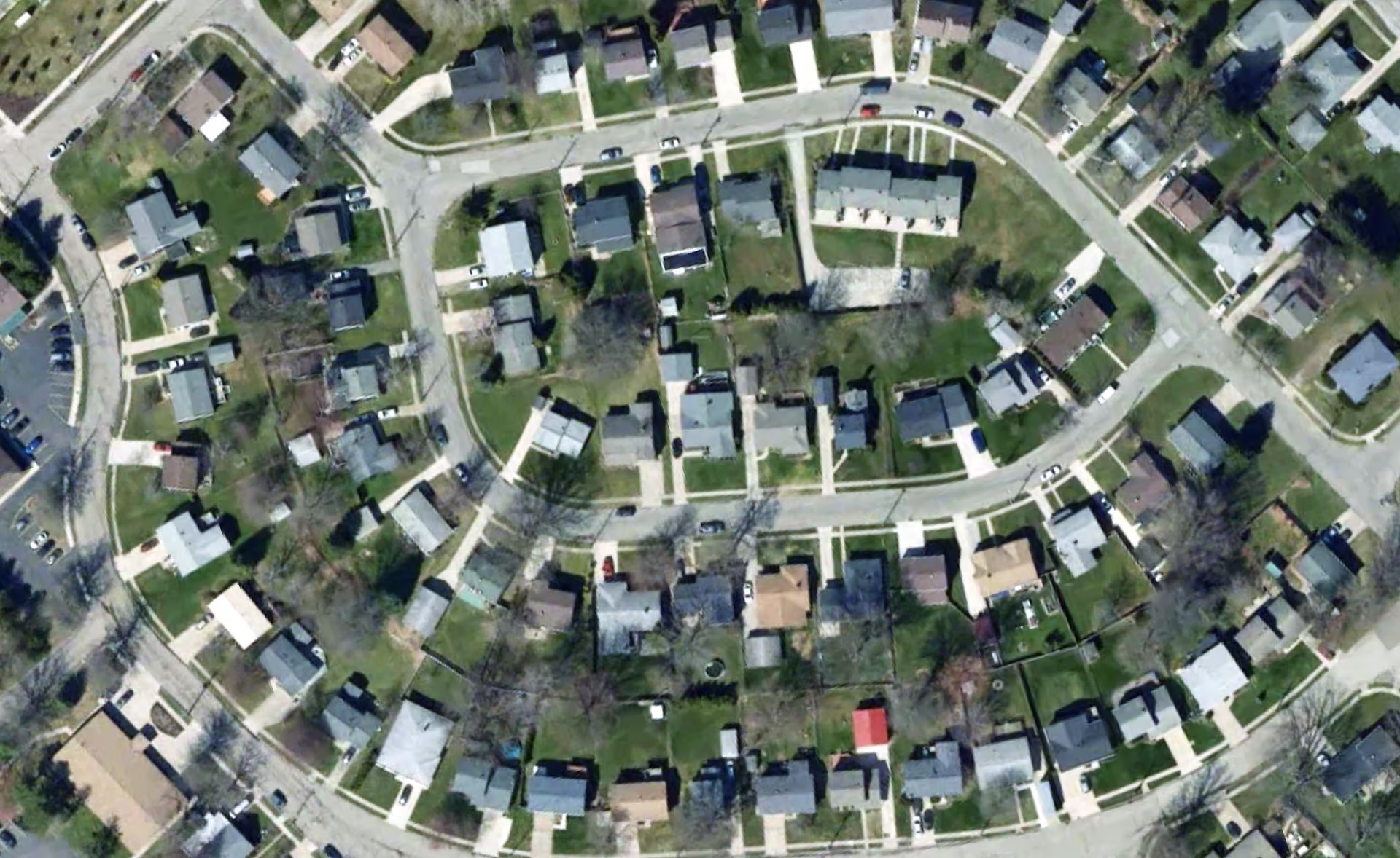
High-detail coverage of Erie County
USA: Missouri
Southern Missouri uses new 2024 aerial captures, while northern Missouri uses 2023 imagery.
Both areas are available at 30 cm/px, the highest level of detail shown at zoom level 18. The result is up-to-date satellite and aerial imagery that reflects recent changes across the Ozarks, its growing suburbs, and rural farmland.
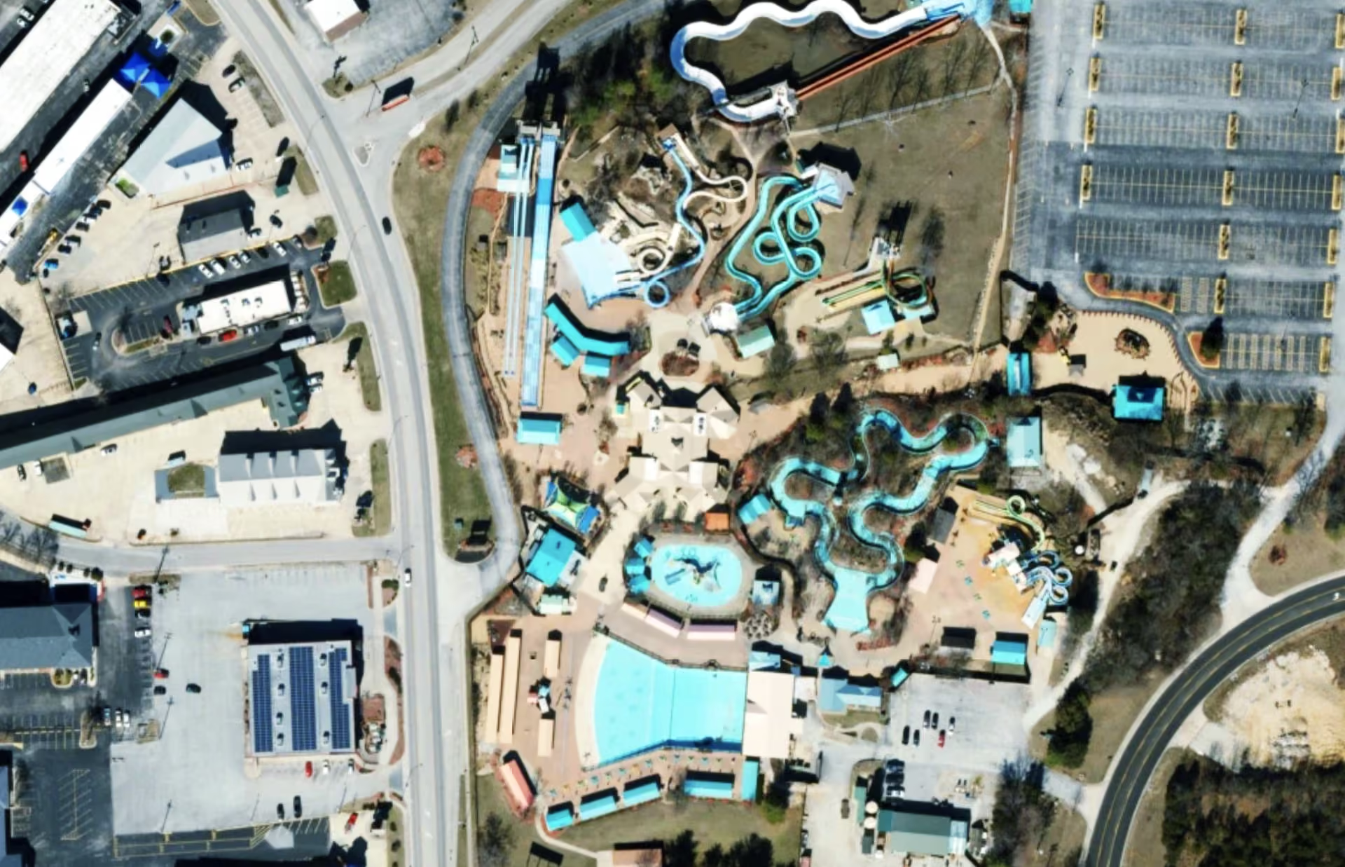
White Water park in Branson, Missouri
Explore the latest satellite images from MapTiler
All the new imagery is now part of MapTiler Satellite and MapTiler Satellite Hybrid, ready to use in your web apps, mobile apps, and GIS projects. Find out what’s available on the Satellite page, or sign up for a free Cloud account and start building beautiful maps today.