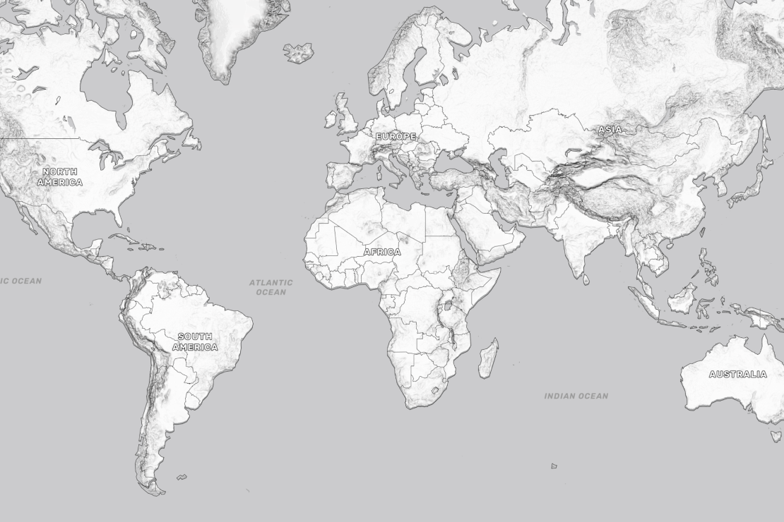
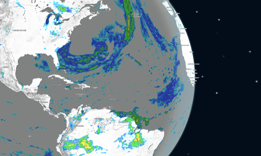
Backdrop map for weather
A background for your weather, climate, and other data visualisations. Ideal for analytics reports and dashboards.
This unobtrusive map provides essential geographical context without distracting users.
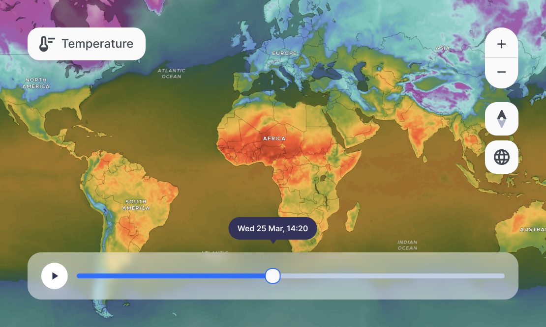
Dark and Light maps for overlays
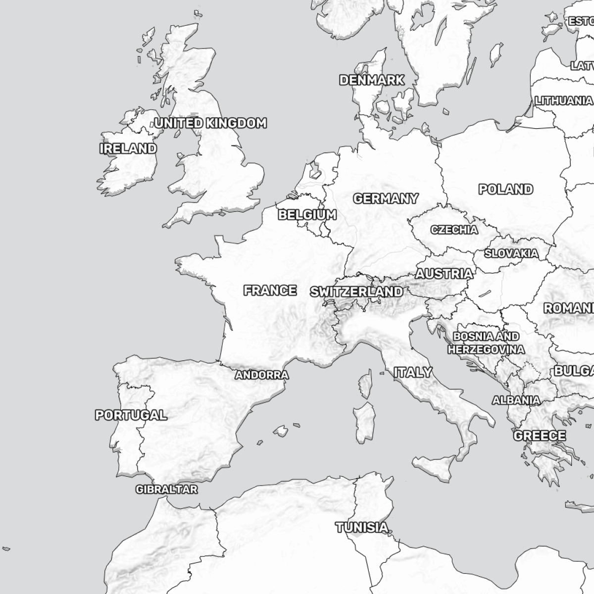
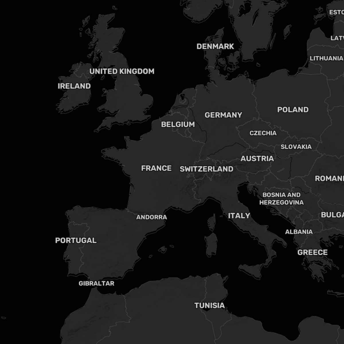
Focus on data while keeping the geographical context
The simple design ensures your data remains the central focus, free from visual clutter, so users can easily understand the spatial relevance of their information.
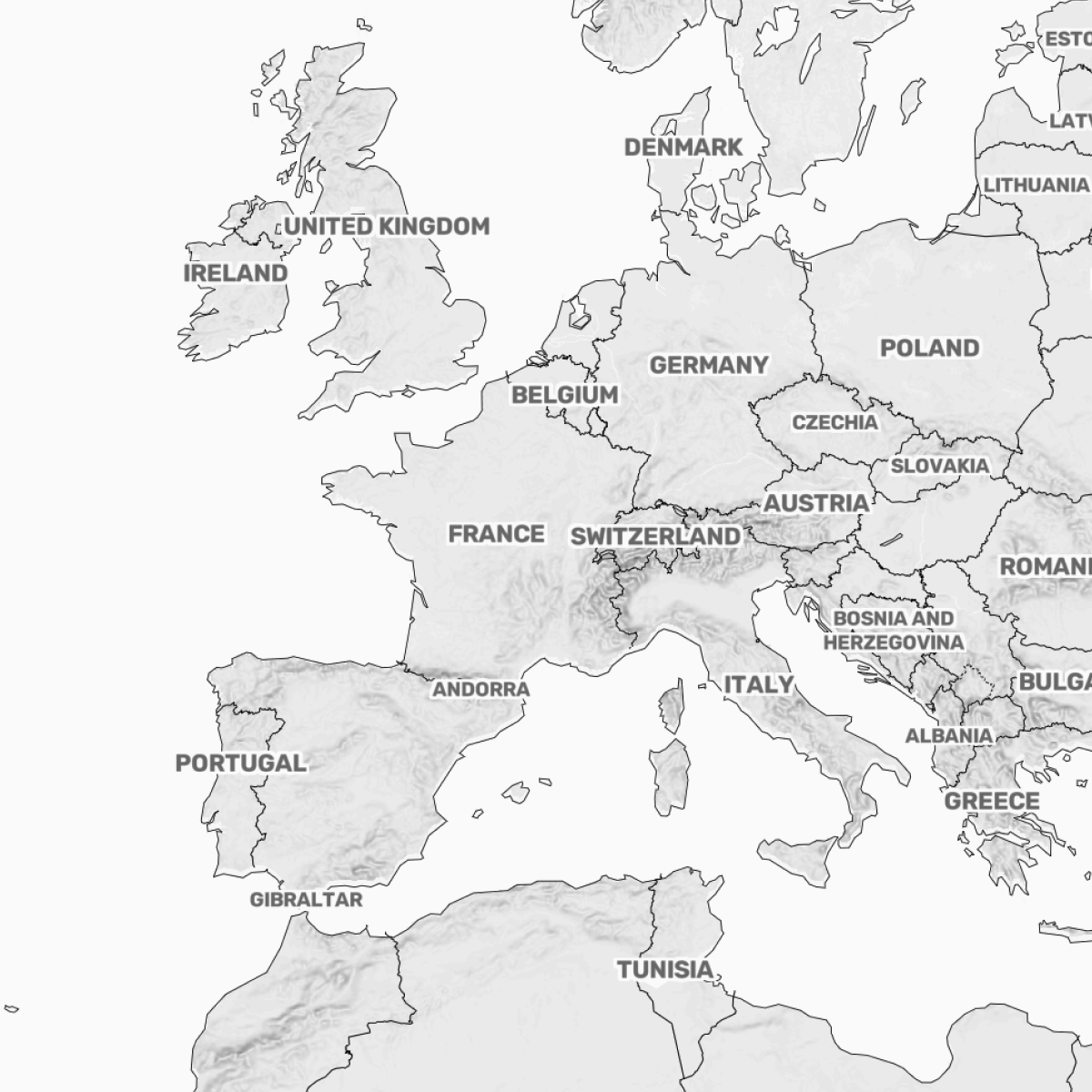
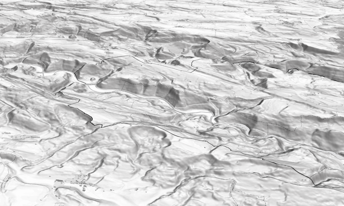
Terrain and elevation for context
Backdrop map provides valuable ground information for nature-related visualizations, utilizing high-resolution terrain and elevation data.
Seamless integration
Easily incorporate this map into various data-centric applications and dashboards.


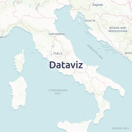


Start using Backdrop via Maps API
https://api.maptiler.com/maps/backdrop-v4/?key=YOUR-API-KEY