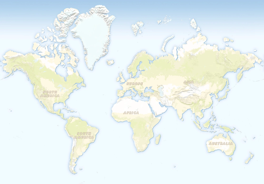
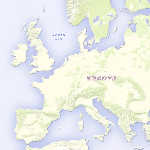
Landscape: The map for inspiring journeys and stories
A unique artistic base map designed to bring clarity and beauty to any data visualization.
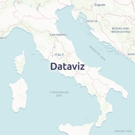
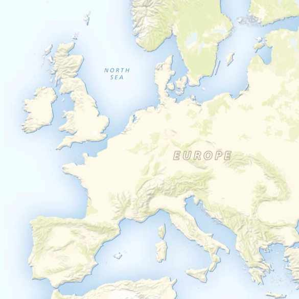
Minimalistic style
Clean and clear maps that let your routes and locations be seen in a beautiful context.
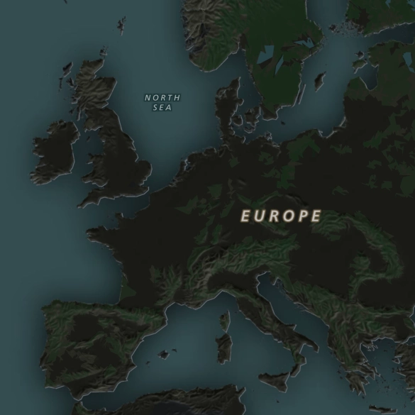
Dark mode
Switch to dark mode or vivid styles to match your interface design or user preferences.
Cartographic details
Professional maps with Swiss-quality hill shading and coastal effects, crafted by expert cartographers.
Dark and vivid maps for data visualization
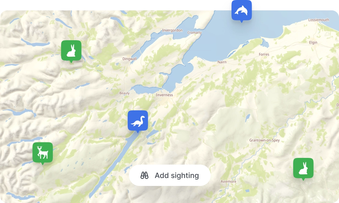
Maps for nature apps
Use the landscape map style when you want to display routes or features in a natural-looking context.
Highlight walking routes, show wildlife locations, or give a beautiful backdrop to any other data you have about the land.
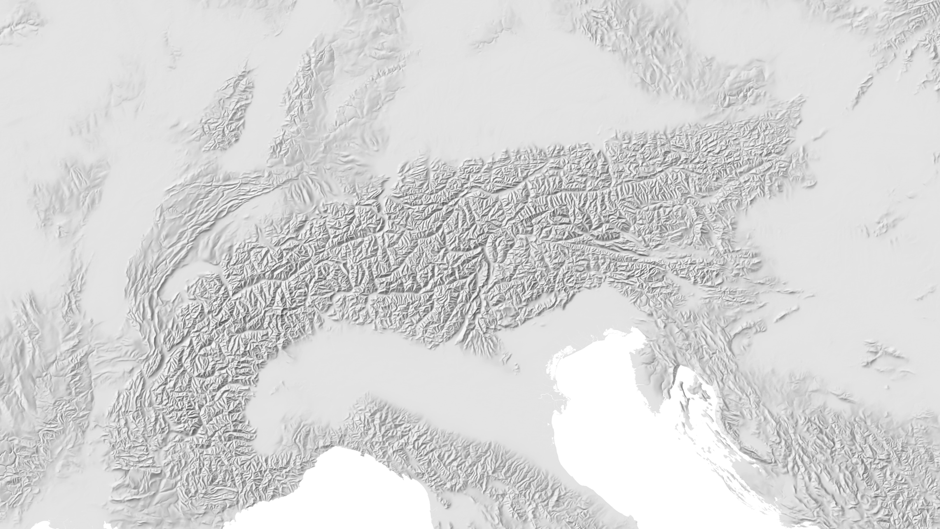
Hand-drawn hillshading
Landscape includes a unique terrain shading layer that mimics this classic cartographic practice.
- Inspired by renowned Swiss cartographer Eduard Ihmof, whose work set the standard for terrain visualization with pencil and brush
- Clear at continentatal scales, expressive at regional scales, and consistent across the entire globe
- Backed up by standard hillshading that emphasizes the detail on local scale maps
Available as


Raster tiles
Leaflet, OpenLayers, XYZ

Map services
WMTS and OGC Tiles API for QGIS or ArcGIS

Static maps
Image for thumbnails