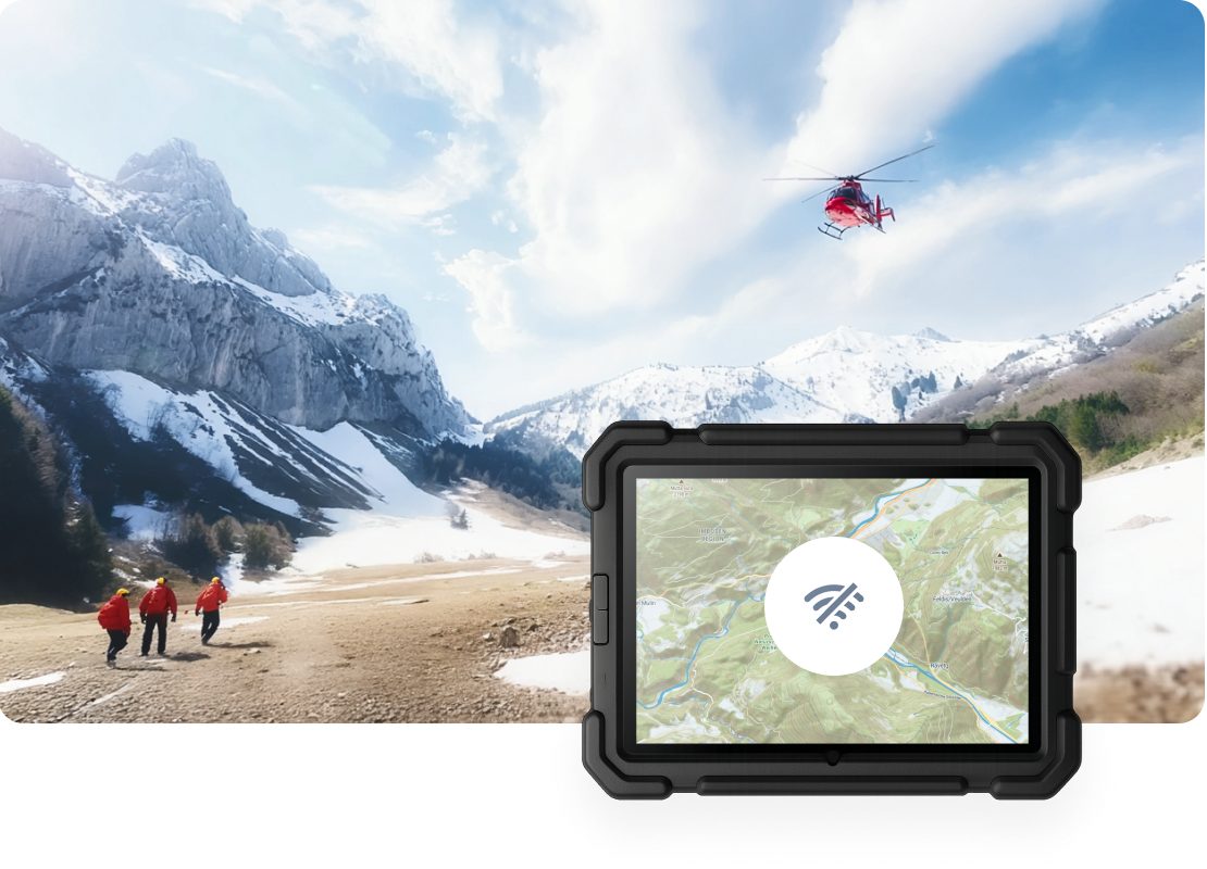
Topo for mission-critical field operations
Designed for search and rescue, infrastructure planning, and remote logistics. Topo ensures your team never lose its way in the backcountry.
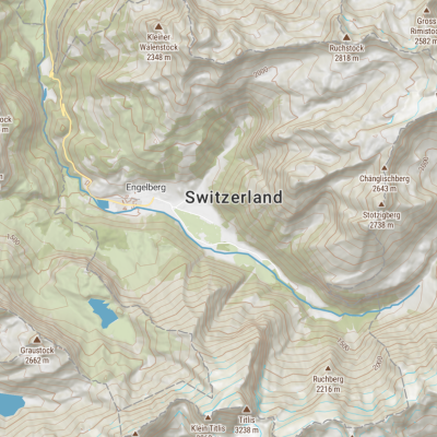
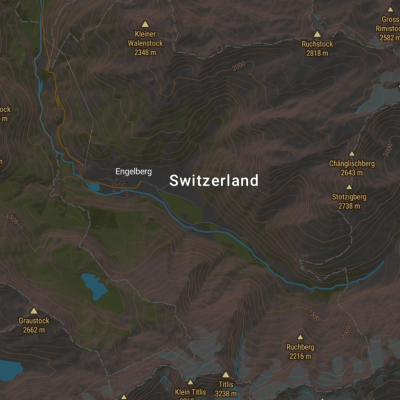
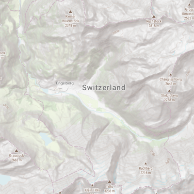
Optimized for readability in every mission environment
With Dark, Pastel, and high-contrast Topographique variants, the map can mitigate eye strain or preserves night vision in tactical environments, ensuring data is legible whether in a sunlit vehicle or a pitch-black command tent.
Global interoperability
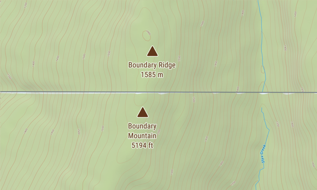
Engineered for interoperability across international coalition forces and US-based agencies. Topo prevents conversion errors in critical environments by dynamically rendering Metric and Imperial units from a single source.
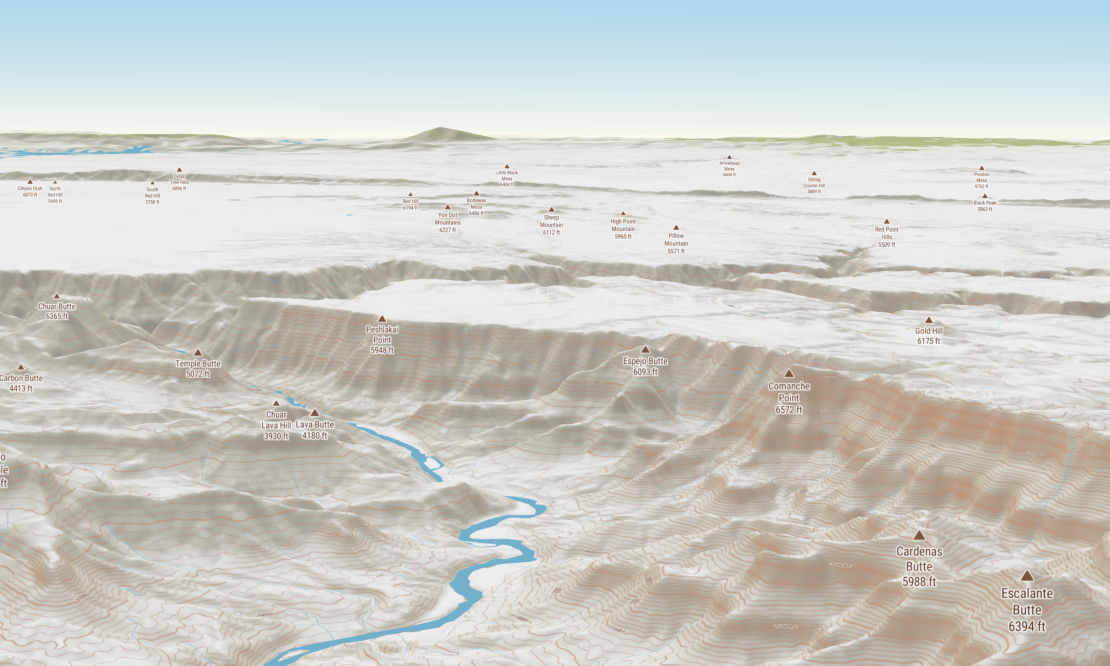
Global-to-local continuity
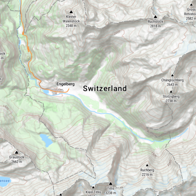
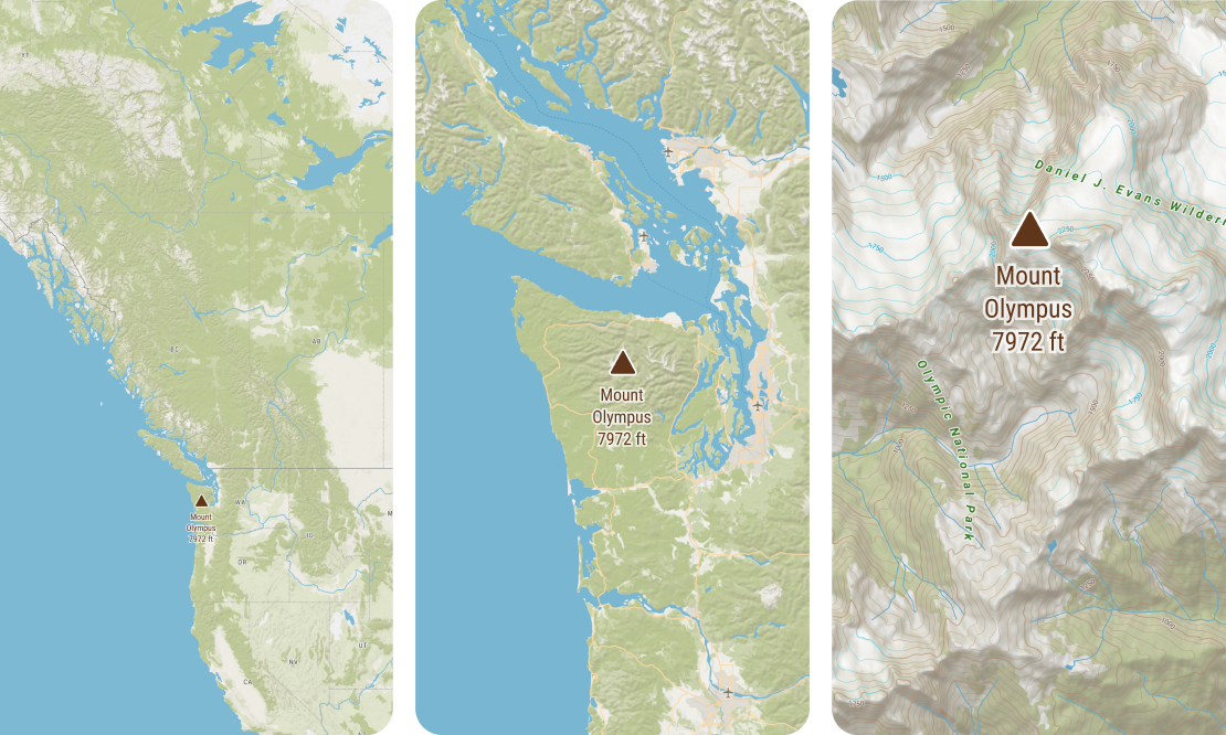
Engineered for multi-scale operations. Move instantly from a strategic global overview to high-resolution local terrain in a single source, ensuring mission-critical clarity for logistics and tactical last-mile movements.
Multi-language interoperability
Topo eliminates language barriers by integrating native fonts directly into the map. International teams can operate effectively in any territory by reading local place names in their original scripts, ensuring seamless orientation and communication.
High-performance with vector tiles
Topo remains sharp and responsive even on limited connections by leveraging vector tiles. This enables fluid tactical movements like rotating, tilting, and zooming without the data-heavy burden and pixelation associated with traditional raster maps.
All the essentials for outdoor navigation
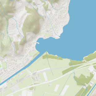
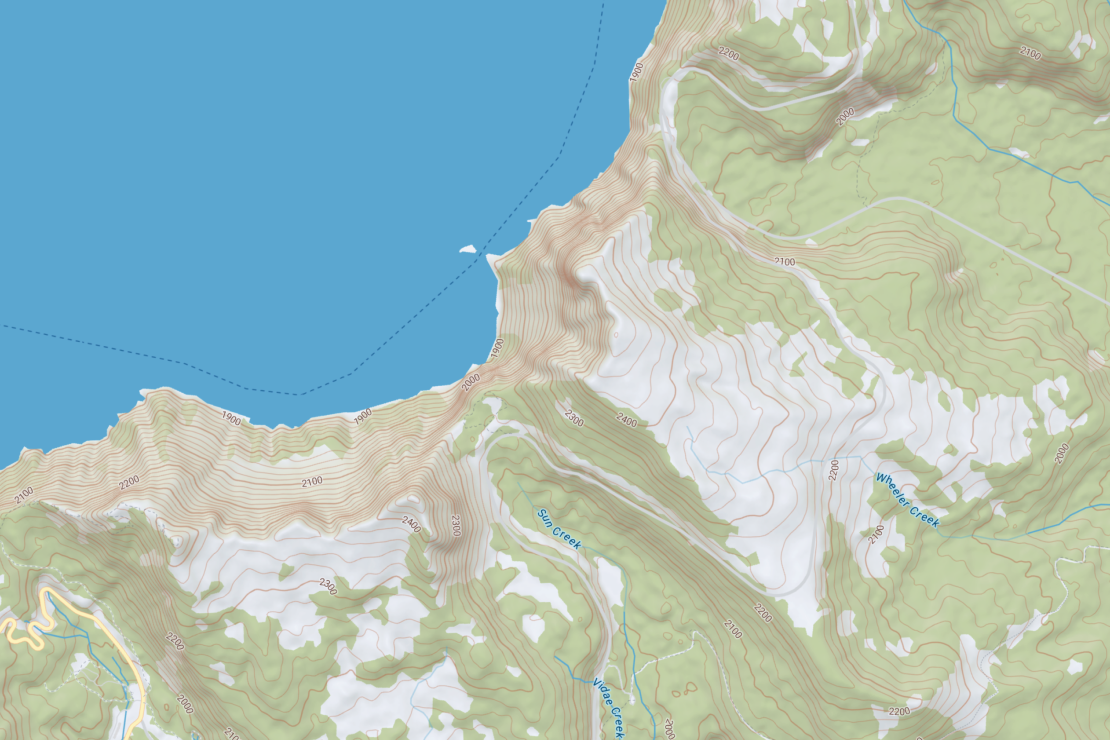
Landuse distinction
Clear visual separation between forest, scrub, open terrain, water, and urban areas.
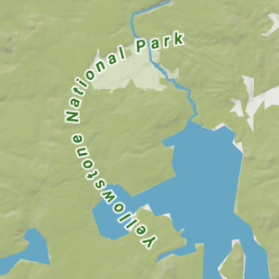
Protected areas
National parks and protected zones borders for environmental monitoring.
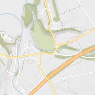
Route classification
Distinct styling for highways, roads, 4x4 tracks, and footpaths for accessibility.
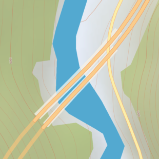
Bridges & tunnels
Detailed indicators for bridges and tunnels for route planning and logistics.
Online and on-prem
Get the same map from a global CDN or in an air-gapped environment. Easily deploy lightning-fast maps on infrastructure where security, privacy, and internet access are fully under your control.
Available as:


Start using Topo via Maps API
https://api.maptiler.com/maps/topo-v4/?key=YOUR-API-KEY