Today, we're launching MapTiler GeoSplats, a technology that empowers you to build the next generation of interactive web map applications with photorealistic 3D world models.
Welcome to the next generation of web map applications!
FIND OUT MORE READ THE DOCS VIEW DEMO
Why choose MapTiler GeoSplats?
GeoSplats combines Gaussian splatting models with interactive maps, realistic 3D terrain, streamlined publishing workflow, and the new GeoSplats SDK, making it easy to create immersive web experiences that turn curiosity into engagement.
Whether you're showcasing real estate, promoting hotels and resorts, highlighting tourist destinations, documenting construction progress, creating immersive stories for online media, or communicating smart city and urban planning projects, GeoSplats provides a powerful way to present photorealistic 3D world models in their real-world context.
Built for projects of any size
From individual projects to city-scale digital twins, GeoSplats is built to handle datasets containing millions of splats. Its adaptive LOD system streams only the data required for the current view.
A high-quality model containing 3.51 million splats can be rendered with just 17,000 splats at the lowest level of detail. By using only 0.2% of the original data when zoomed out, GeoSplats delivers fast loading times while making virtually unlimited environments practical on desktop and mobile devices.
Upload, georeference, publish
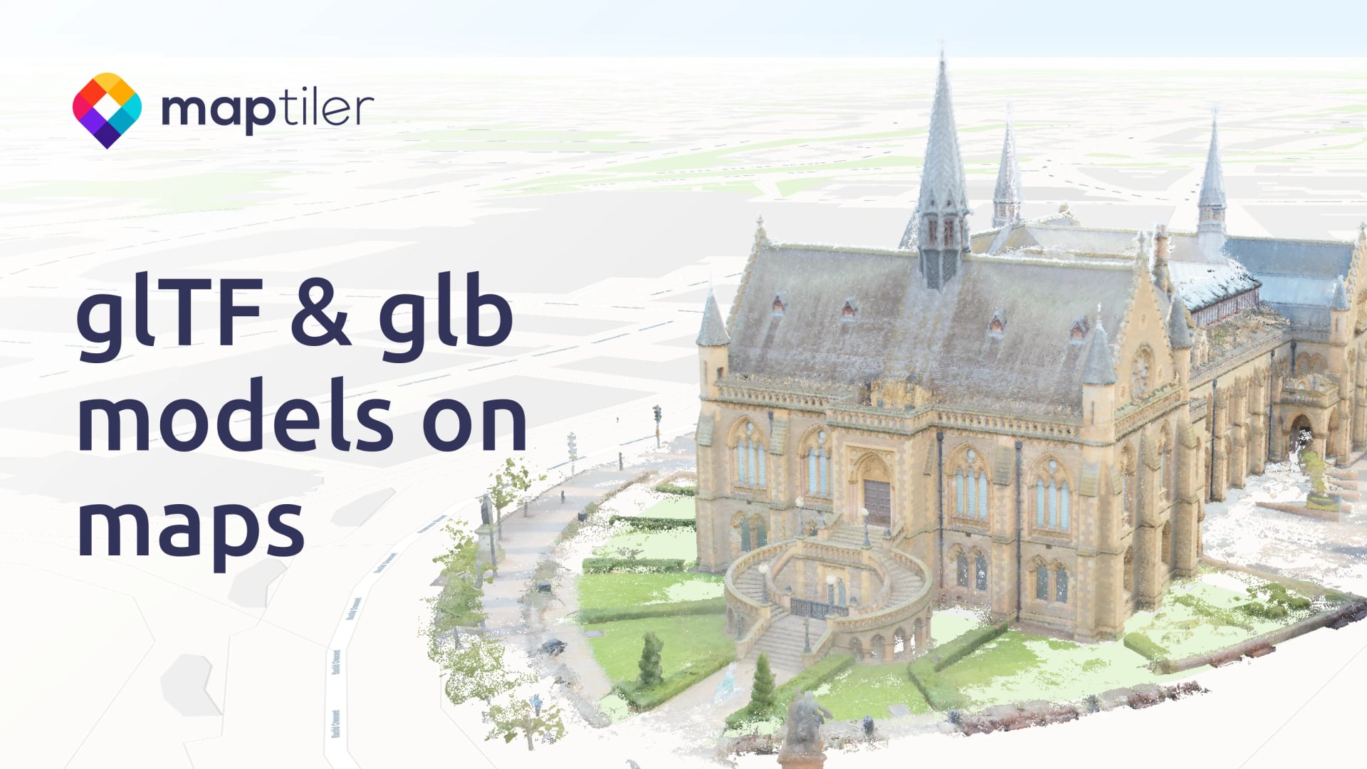
GeoSplats accepts standard .ply files generated by existing Gaussian splatting tools.
We've designed the workflow to simply turn photorealistic 3D models into interactive web maps. Upload your model, position it precisely using the visual 3D editor, and publish it on the basemap of your choice.

Powerful GeoSplats GPU SDK
The GPU-accelerated SDK is built on WebGPU, the modern web graphics standard that succeeds WebGL, delivering high-performance rendering together with APIs for interaction, customization, and event handling.
Comprehensive documentation and ready-to-use examples help you get started quickly. It also lays the foundation for AI-powered spatial analysis and living world models.
Transform curiosity into engagement
GeoSplats helps transform curiosity into engagement by placing photorealistic 3D world models in their real-world context.
Whether you're presenting a vision, promoting a destination, documenting progress, or sharing a story, GeoSplats helps you capture attention, inspire confidence, and create immersive experiences that audiences remember.
Give your Gaussian splatting models a cinematic introduction with a new reveal effect that creates memorable first impressions and adds a premium touch to every presentation.
Start building today
Learn more and explore the live demos on the product page, or read the product and SDK documentation to start building immersive 3D map applications.