Great maps don't just display locations, they bring the physical world into focus. That's why we continuously update our satellite dataset with newer and sharper imagery. This ensures our users have access to the most accurate maps with a satellite view available.
We're thrilled to announce a fresh batch of ultra-high-resolution aerial updates and expansions covering key regions across North America and Europe.
Want to view satellite images live in your browser? Experience these updates directly on the MapTiler Satellite Hybrid map or read on to discover what's new.
Luxembourg: Country-wide aerial refresh
Our aerial imagery for the Grand Duchy of Luxembourg has been upgraded to a nationwide 10 cm/px resolution. Captured in 2025, this crisp layer makes fine details, such as road markings, roof lines, and land-use patterns, easily distinguishable.
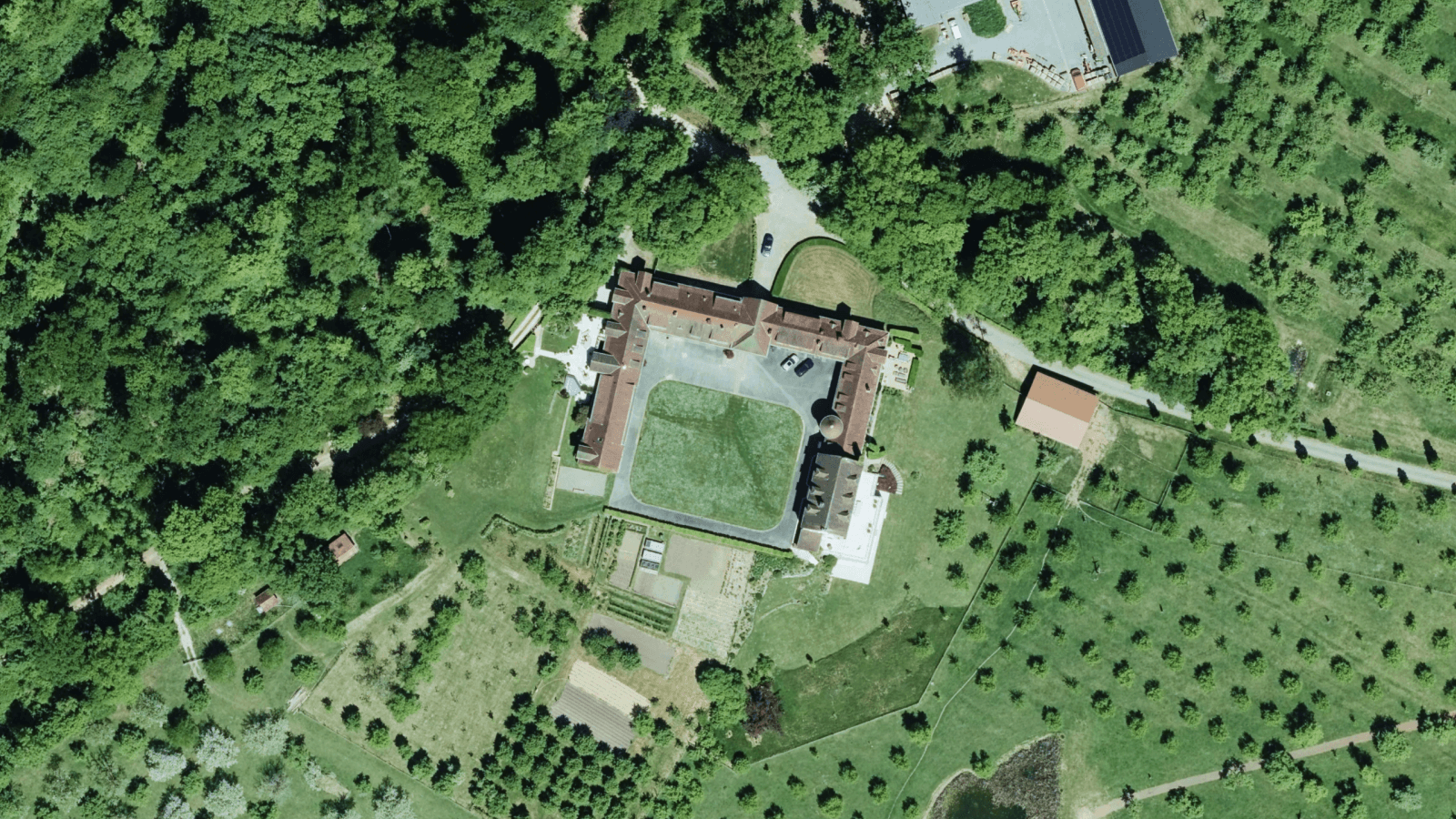
High-detail aerial coverage over Ferme bio de Klingelbour
Prague: Ultra-sharp 5 cm/px resolution
For the historical city of Prague, we added extraordinary 2025 aerial imagery with an incredible spatial resolution of 5 cm/px. At this level of precision, urban planners and developers can inspect fine architectural features, streetscape elements, and local infrastructure with complete detail.
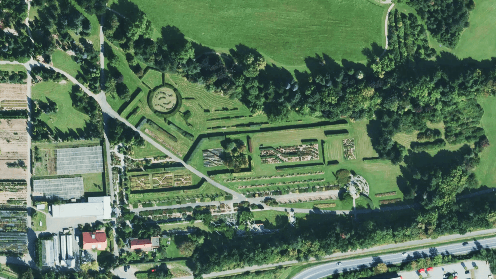
High-resolution aerial imagery of the geometric garden paths and outdoor play areas at the Dendrological Garden
Slovenia: Brand new aerial coverage
We significantly upgraded our coverage for Slovenia. Previously covered solely by satellite imagery, the entire country now features a brand-new nationwide aerial dataset. Captured in 2024 at 25 cm/px resolution, this update delivers vivid detail stretching from the Julian Alps down to bustling urban centers.
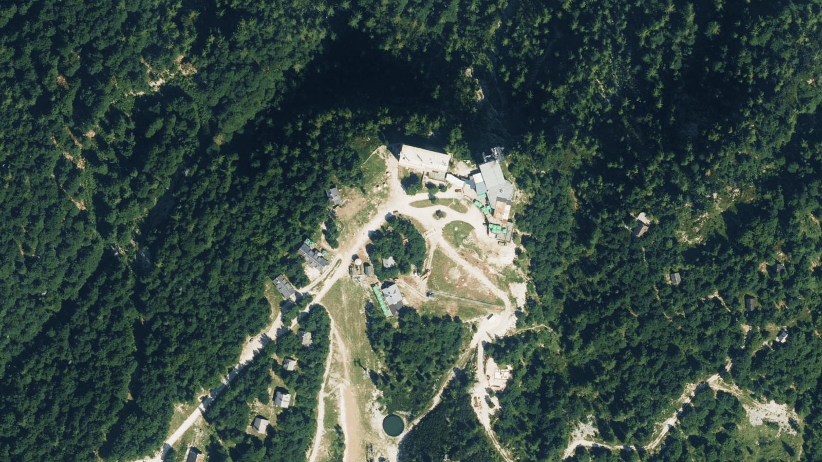
High-altitude imagery of the Vogel Ski Center
USA: Florida aerial update
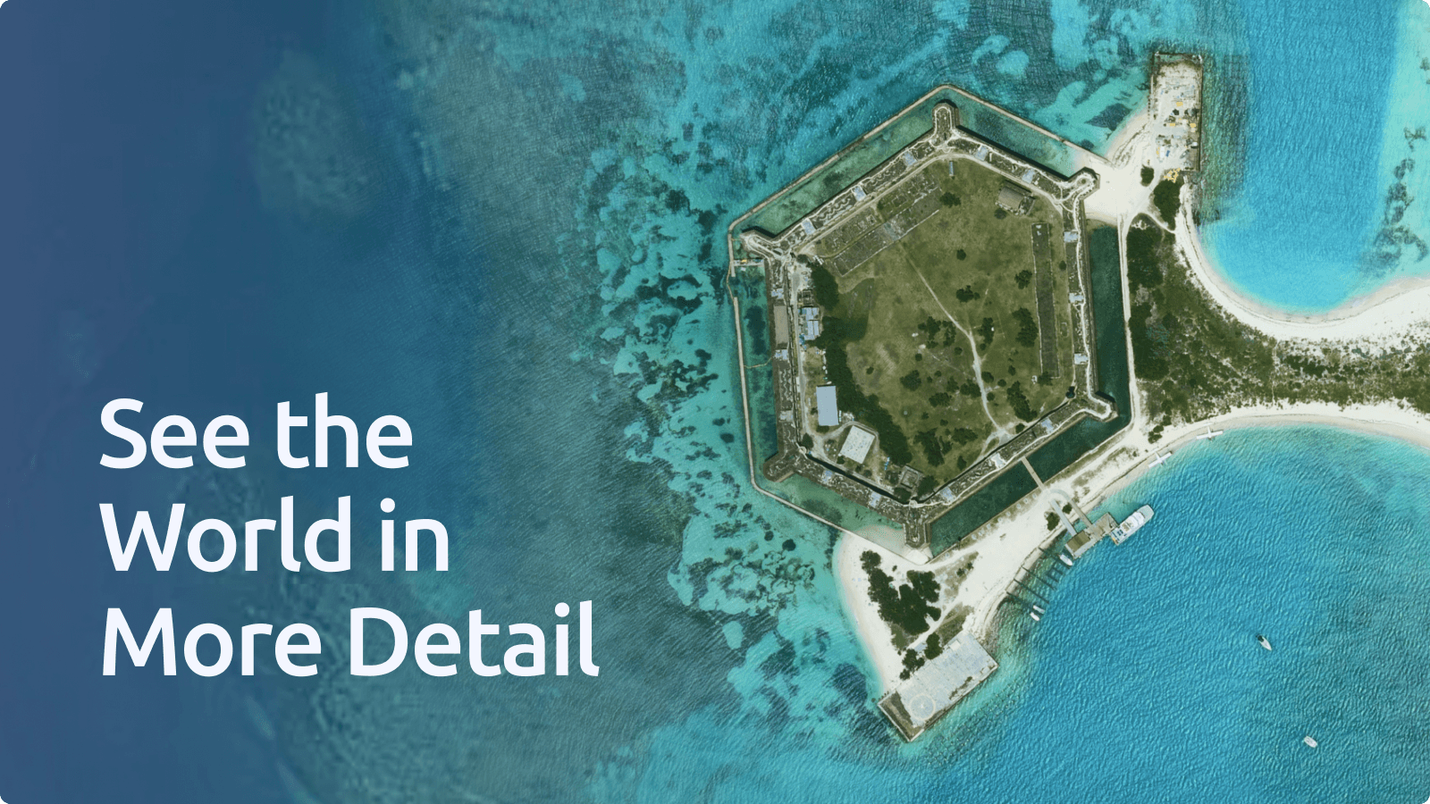
We refreshed our aerial coverage for the state of Florida with new 2025 imagery. Rendered at a 30 cm/px resolution, this dataset brings improved clarity to coastal areas, expanding suburban regions, and critical infrastructure across the state.
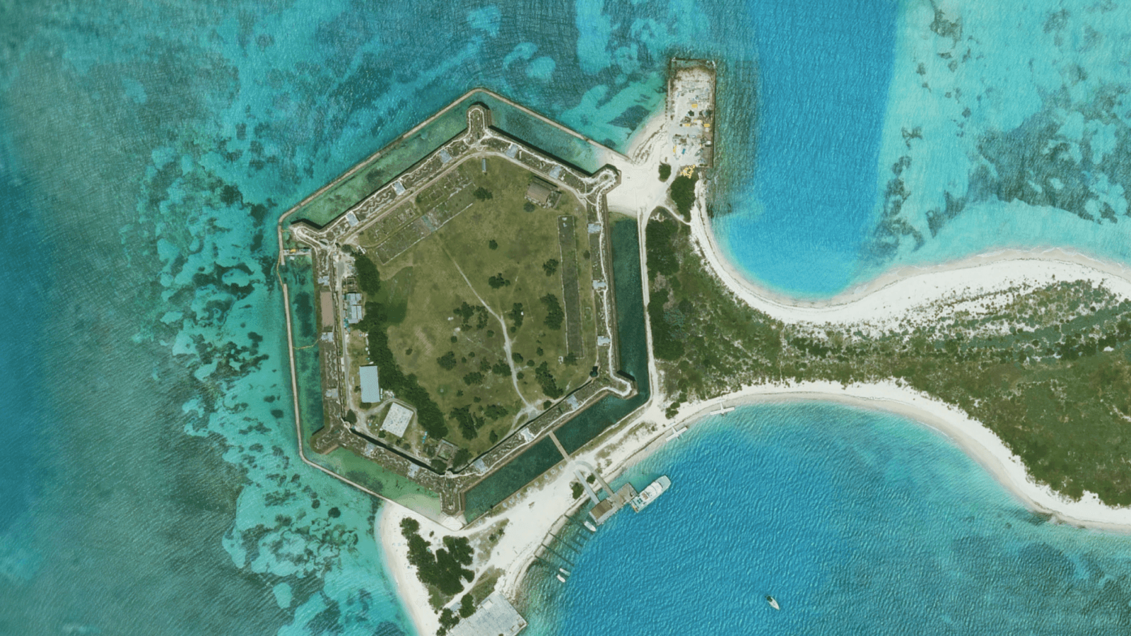
Ultra-sharp aerial imagery of Fort Jefferson in Dry Tortugas
Build interactive global maps with MapTiler
All new datasets are color-balanced and merged into our high-resolution map of the world in a way that prevents visible boundaries, color shifts, and edge artifacts.
Whether you're building custom web applications, mobile integrations, or desktop GIS projects, you can immediately integrate these interactive global maps into your workflow. Access the layers via Cloud APIs (WMTS, XYZ, vector and raster tiles) for desktop GIS tools like QGIS and ArcGIS, or host the imagery on-premises using Server.
Explore the updated imagery on our Satellite page or sign up for a free Cloud account to start integration today.
Read about Satellite Get a free Cloud account