OpenStreetMap Saint Petersburg
Download vector tiles for self-hosting
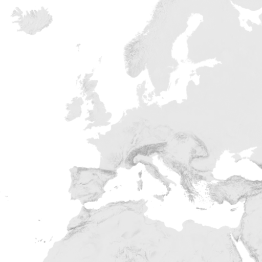
These tiles contain a selection of OpenStreetMap data - in layers defined by the OpenMapTiles Vector Tile Schema.
Zoom in to preview the details of this dataset. Provided area is marked with a rectangle.
The tiles are generated on zoom levels 0 to 14, but can be overzoomed to level 18+.
Vector tiles contain selection of OpenStreetMap data - following the OpenMapTiles schema, compatible with the open styles.
Download other datasets for Saint Petersburg:
Hillshading raster tiles
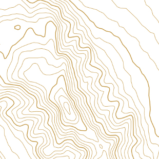
Contour lines vector tiles
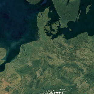
Satellite Medium Res raster tiles
Satellite Low Res (2016) raster tiles
Satellite Highres raster tiles