3D maps for your website & apps
Explore the planet in rich detail using our 3D maps with extruded buildings and 3D terrain.
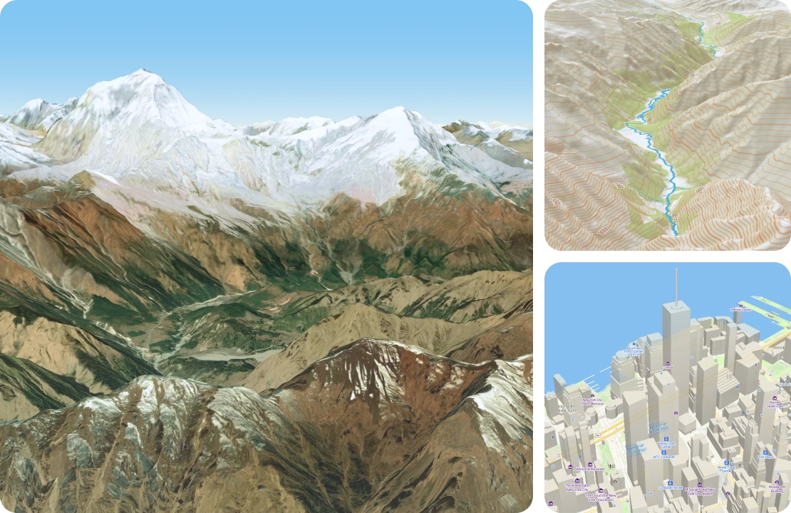
3D world maps with buildings and terrain
Global 3D terrain ready to use with any of our map styles
3D buildings aid with navigation in built up areas
Easy to code with JavaScript examples
Build your own 3D world map
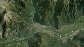
Create a realistic 3D map of the world with the satellite layer from MapTiler Cloud.
Include roads and placenames for context by using the hybrid layer.
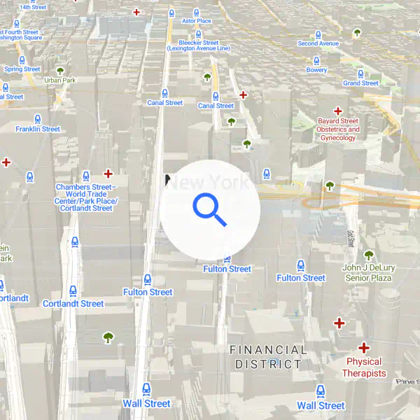
Navigation with 3D maps
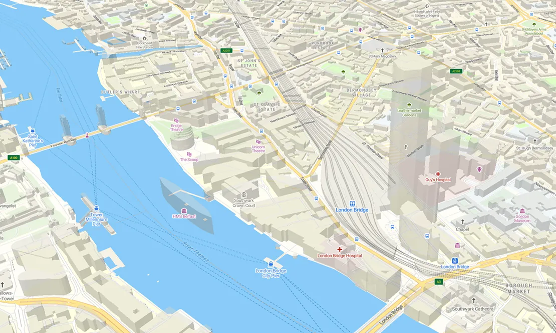
Build an immersive experience with extruded 3D buildings to help your users navigate the city and find their destination.
Use MapTiler Streets which contains building height data.
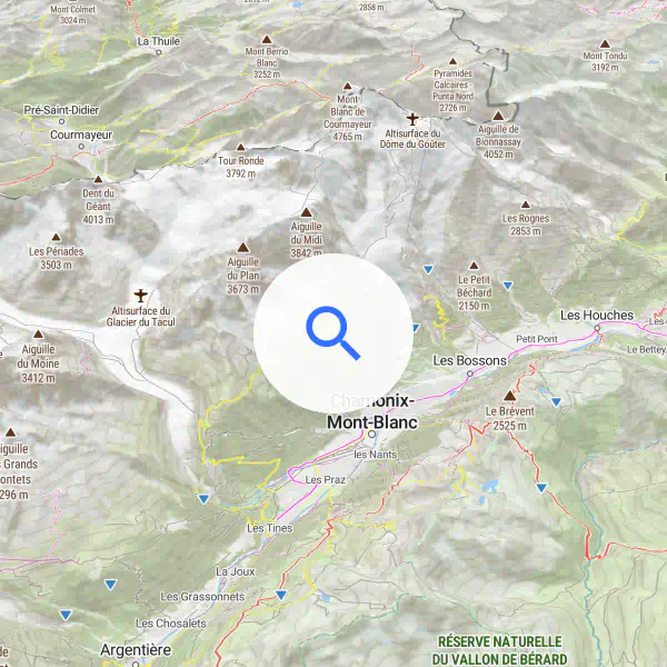
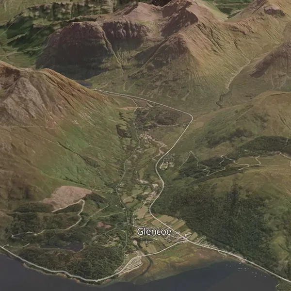
Maps with 3D for adventure
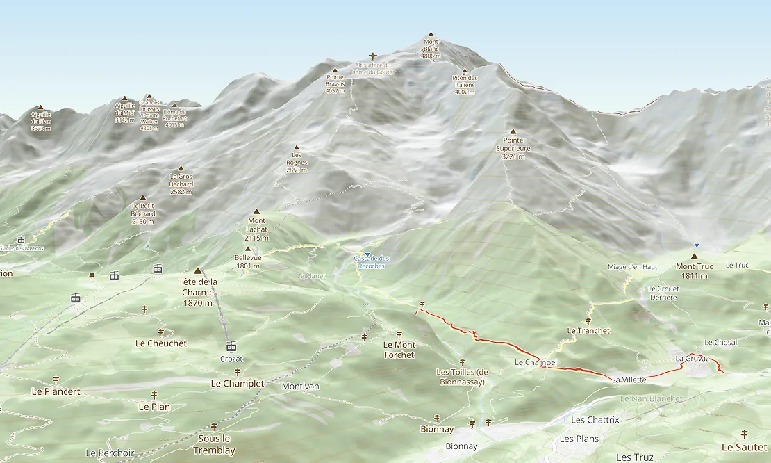
Show the terrain in 3D to give your users the best experience when hiking, biking, or skiing.
Use MapTiler’s Outdoor and Winter maps which include details of hiking trails and ski slopes.
Available as:


Show 3D Models with a few lines of code
The MapTiler SDK lets you easily include your own 3D models. All you need to do is:
- Install the module from NPM
- Specify the link to your model, mesh, or point cloud
- Choose the location, size, orientation, and lighting
You can even animate them too!

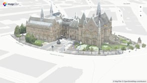
Turn drone imagery into 3D models
Photogrammetry software can turn your drone imagery into 3D models in glb format. You can easily display these on 3D maps using the MapTiler SDK 3D Module.


Start using 3D via Maps API
const map = new maptilersdk.Map({ terrain: true });