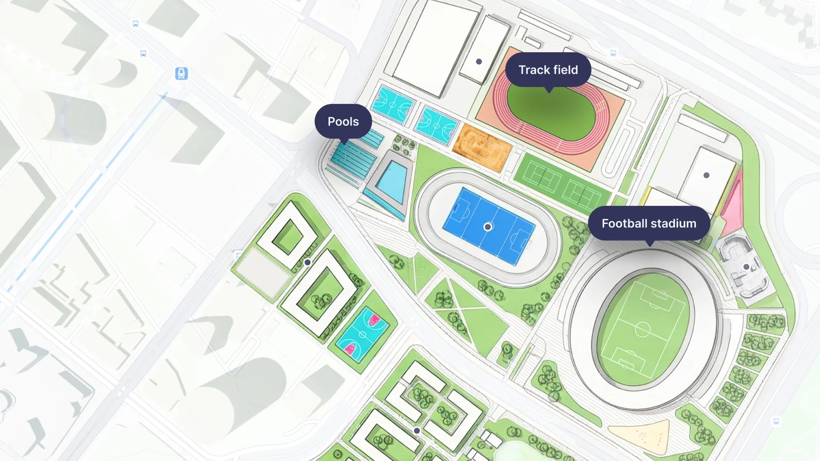
MapTiler has released three major updates to our online visual georeferencer. Now you have more control over your spatial data and will find it easier to build highly accurate maps online:
- Re-georeferencing
- Map transformations
- Ground control point lists
Find out how Upload a map image to georeference
How to re-georeference an image online
Sometimes you only realize your image alignment is slightly off after it finishes processing. MapTiler now allows you to re-georeference an image multiple times. All key raster formats and PDFs are supported. When you navigate to your completed tileset detail page, you will now find a new "Edit Georeference" button.
This feature gives you a 30-day window from your first georeferencing session to go back and adjust your anchor points, so you don't have to start your project from scratch. Read more in our general guide to georeferencing.
Choose the right map transformation method
We have expanded your options beyond the default affine transformation method. You can now choose a specific transformation style that fits your project data. If you are working with infographics, you can select a method that does not distort text or the original shape.
Alternatively, if you are mapping drone imagery or historical maps, you can choose a method that distorts the image to match the real-world coordinates perfectly. Additionally, for simpler tasks, you can now georeference an image using only two points instead of three. Explore the different options in our map transformations documentation.
Manage ground control points in a centralized list
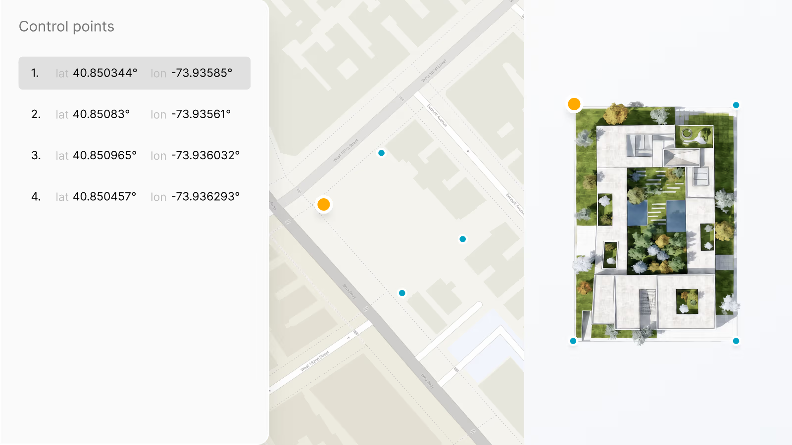
Tracking your Ground Control Points (GCPs) across a large image can be challenging. Now, you can see all your created points in one clear list on the left menu. This organized approach allows you to quickly locate misplaced anchor points.
You can right-click any point in the list to manually edit its coordinates, center your map view on it, or delete it entirely. Learn how to manage your points in our guide on how to georeference your image.