When you build a hiking map application for outdoor navigation, standard street maps quickly hit their limits. They lack the topographic context and map features required for hikers' safety and orientation in the backcountry.
To help you select the ideal map foundation, we've compiled a list of essential features every professional trail map application needs.
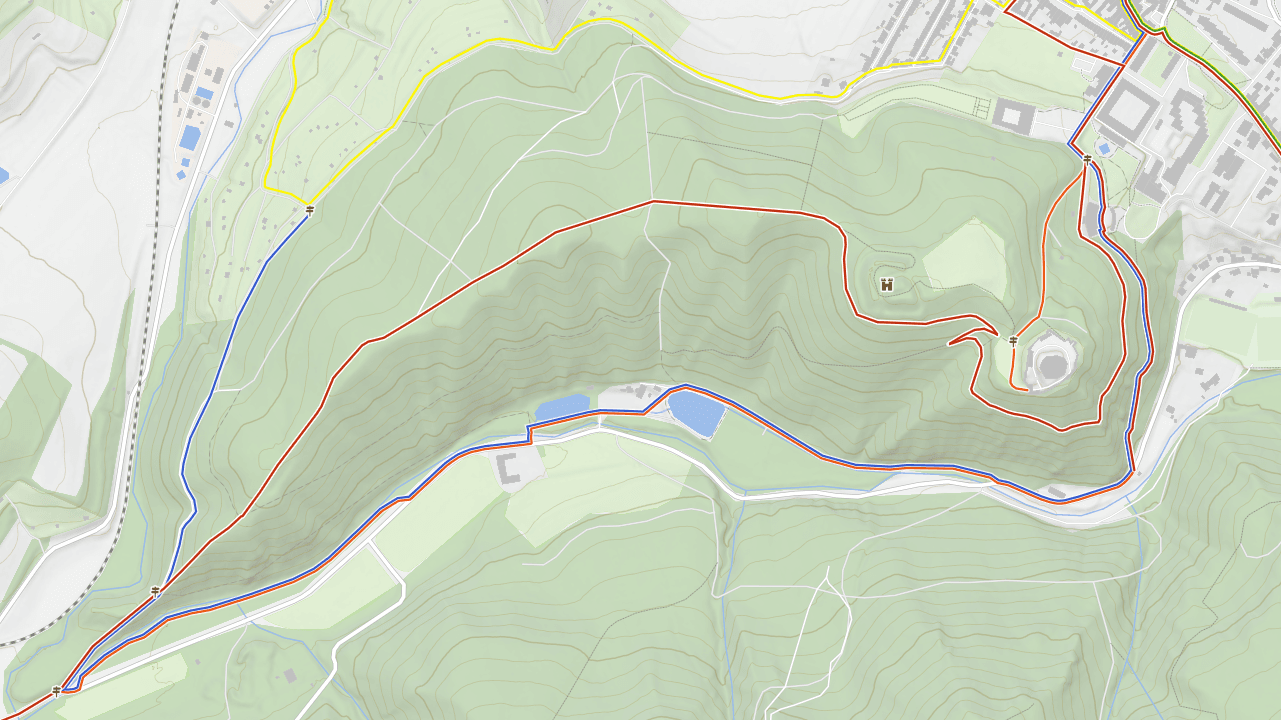
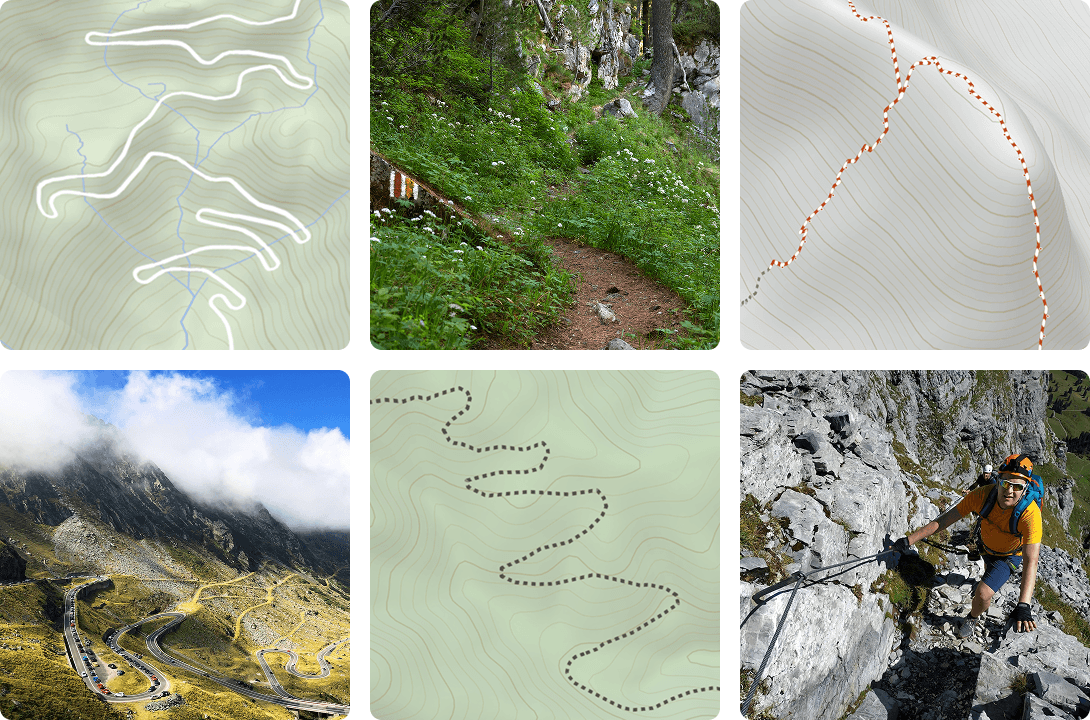
1. Hiking trails styled by difficulty or usage
The trail network is the core of any hiking map. However, the color of its marking has a different meaning depending on the region:
- Hierarchical color coding: Many regions use color to show trail priority (e.g., red for long-distance, blue for secondary, green for local, yellow for connectors).
- Difficulty ratings: Systems like the Swiss Alpine Club (SAC) scale use markings to indicate technical difficulty rather than just the route (e.g., yellow for easy hiking trails, red for moderate mountain trails, blue for advanced alpine routes)
- Other outdoor activities: A complete app supports specialized scales for additional sports like via ferratas or horseback riding.
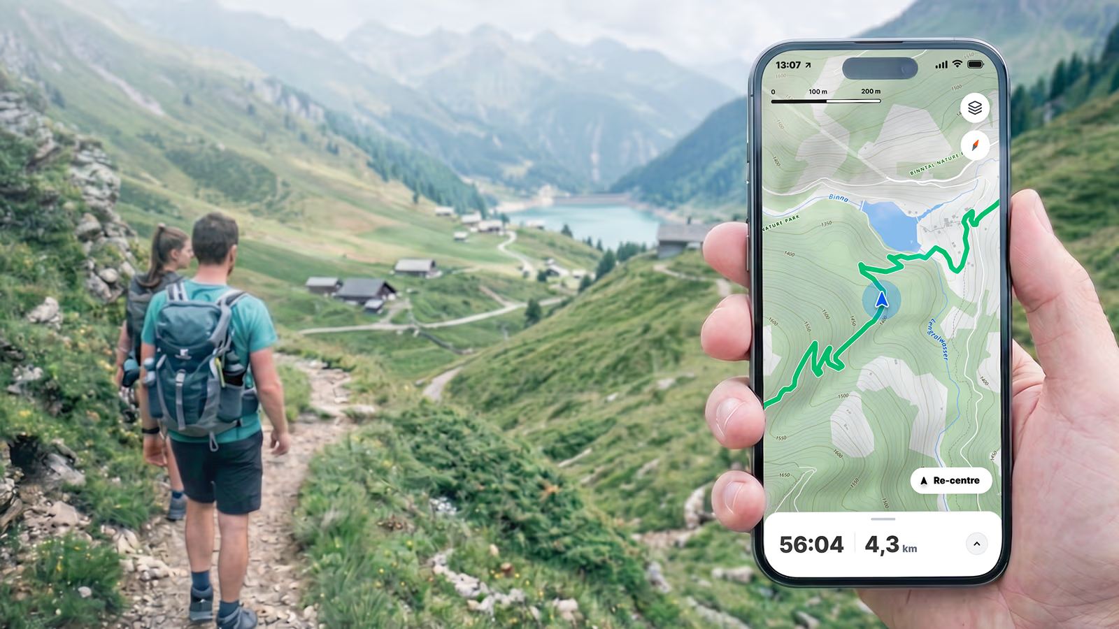
Using vector tiles allows you to dynamically adjust the trail rendering based on the user's personal preferences.
2. Track classification for off-trail hiking
Hikers frequently venture off marked trails to find shortcuts, explore remote areas, or avoid crowds. In addition to detailed terrain and land cover data, they rely on precise path classification. Therefore, a pro hiking map should clearly distinguish between roads, multi-purpose tracks, narrow paths, and technical via ferratas.
The map should also highlight critical crossing points like bridges or tunnels, while simultaneously overlaying legal accessibility data to warn users away from private property or restricted conservation zones.
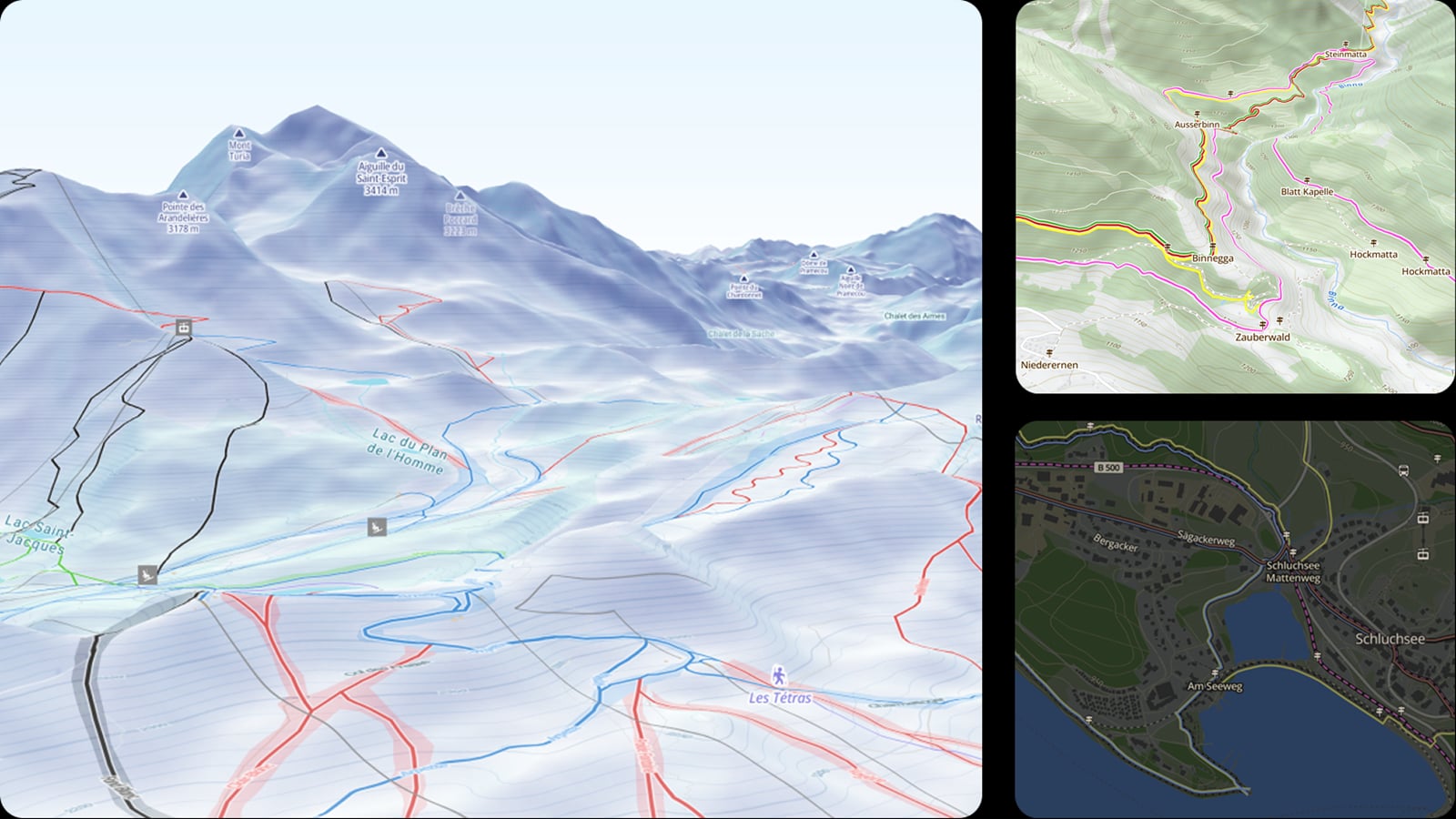
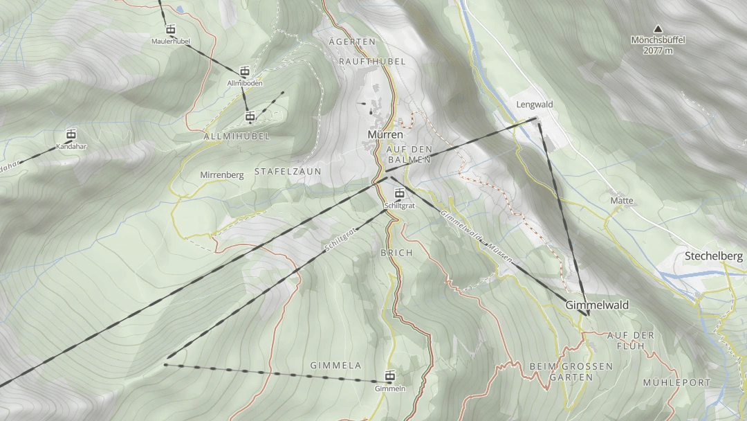
3. Cable cars and lifts on hiking maps
In high-mountain environments, gondolas and chairlifts are vital for accessibility, helping groups with varying fitness levels reach viewpoints safely. Ideally, each type of aerial lift should have a highly distinguishable cartographic style.
Thanks to their clear visibility in mountainous areas, these structures also serve as prominent visual landmarks for backcountry navigation.
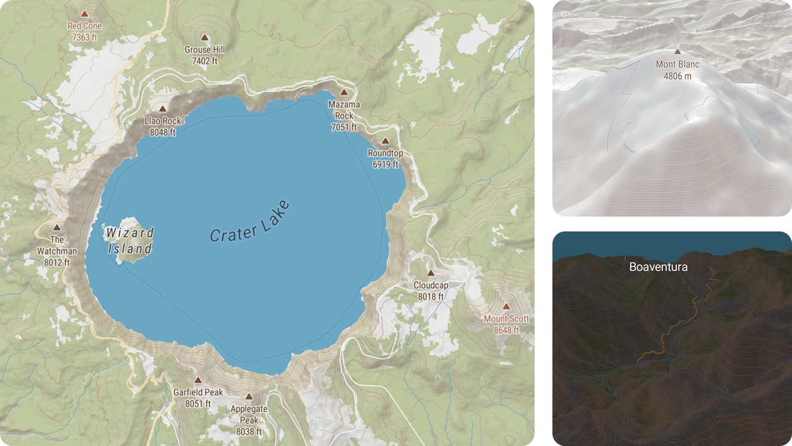
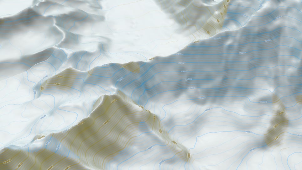
4. Terrain visualization with contour lines and hillshading
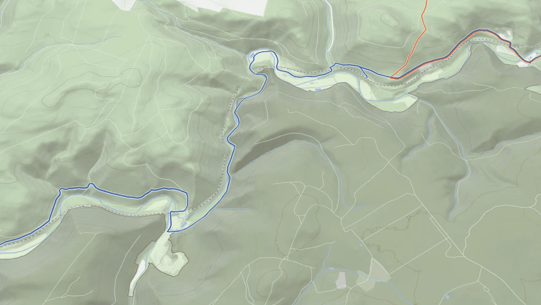
To visualize the third dimension and therefore the steepness of the hills, hiking maps can use two methods.
Contours are precise lines connecting points of equal altitude at fixed intervals. Their spacing gives hikers an immediate sense of steepness, and elevation labels let users calculate exact elevation differences.
Hillshading, on the other hand, adds intuitive visual depth to the map by simulating real-world sunlight and shadows falling across slopes and valleys. This helps users understand the nature of the terrain and can show how rough and therefore difficult the terrain can be to cross.
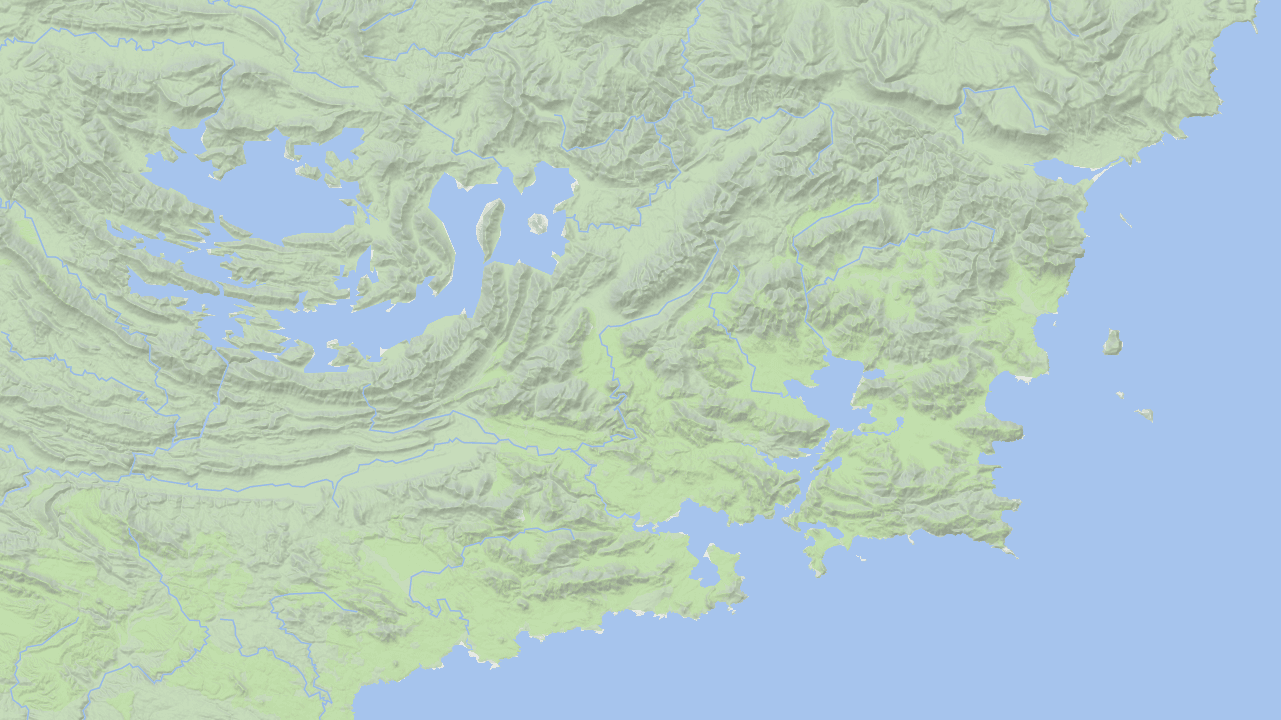
5. Landuse and vegetation layers
The surrounding land cover shapes the hiking experience, dictating everything from scenery to gear requirements. Clear visualization of forests, meadows, and glaciers helps users plan trips according to seasonal conditions and personal preferences, whether they seek shade on a hot summer day or open panoramic views.
Furthermore, land use data is a critical safety asset for off-trail navigation and route planning. It alerts hikers to the terrain's physical passability and indicates when specialized equipment is necessary, such as transitioning from standard hiking boots on a grassy meadow to crampons for crossing a glacier.
6. Hiking points of interest (POIs) near the hiking trail
To highlight features critical to hikers, a backcountry app should include a comprehensive outdoor POI dataset with:
- Navigational landmarks: Highly visible structures like observation towers that help hikers orient themselves in space.
- Transit hubs: Trailheads, parking lots, bus and train stations, and even remote backcountry airstrips required for trip logistics.
- Sustenance and medical aid: Natural drinking water sources, resupply shops, restaurants, and nearby emergency services like hospitals and mountain rescue stations.
- Lodging and shelters: Alpine huts, highland bothies, and designated campsites for multi-day treks, as well as primitive emergency bivouacs and storm shelters for safety.
- Scenic destinations: The primary targets of a hike, including designated viewpoints, waterfalls, caves, and historical outdoor attractions.

7. Protected areas
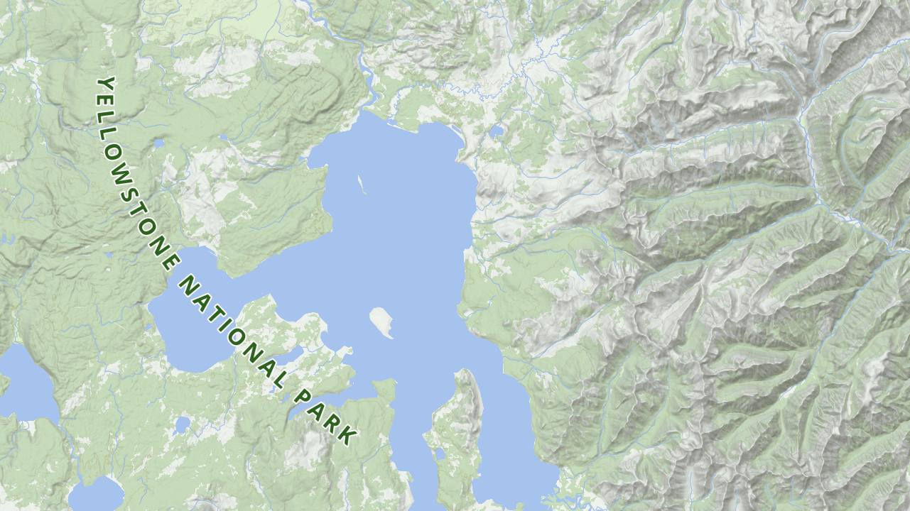
Nature reserves and national parks are primary destinations for outdoor enthusiasts seeking untouched landscapes. However, navigating these zones requires strict compliance with local conservation laws. Depending on the country and specific zone, activities like wild camping, off-trail hiking, foraging, or bringing dogs may be heavily restricted or entirely prohibited. Displaying them helps prevent unintentional environmental damage and protects users from costly fines.
8. Military areas and training grounds
Restricted access is not limited to nature reserves; swathes of backcountry and mountainous terrain are frequently designated as military training areas. An effective hiking map must clearly highlight these zones, as entry is typically strictly prohibited. These restrictions exist to secure military operations and, most importantly, to protect hikers from severe safety hazards, including active live-fire exercises and the presence of unexploded ammunition.
9. Physical barriers
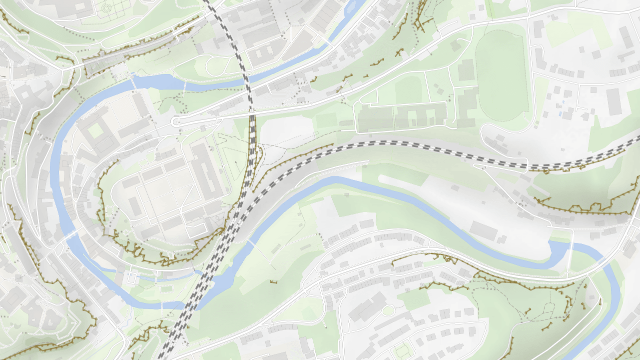
Beyond legal restrictions, physical barriers frequently obstruct backcountry travel. These can include artificial structures such as fences, natural obstacles such as cliffs, or major infrastructure projects such as railways and highways that are impossible or illegal to cross on foot. Highlighting these barriers allows hikers to accurately assess terrain passability during the route-planning phase.
10. Dynamic and multilingual labels with names
Place names are essential for navigation, route planning, and emergency communication. An effective outdoor map must clearly label geographic features like peaks, valleys, waterfalls, and alpine huts.
Utilizing vector tiles for labels provides two critical technical advantages. First, it enables dynamic orientation, meaning text automatically rotates and tilts during map adjustments or 3D viewing. Second, it enables native multilingual support, allowing apps to translate names or display bilingual labels. This is invaluable for hikers navigating regions with different alphabets, allowing them to read the digital map while still recognizing physical trail signs.