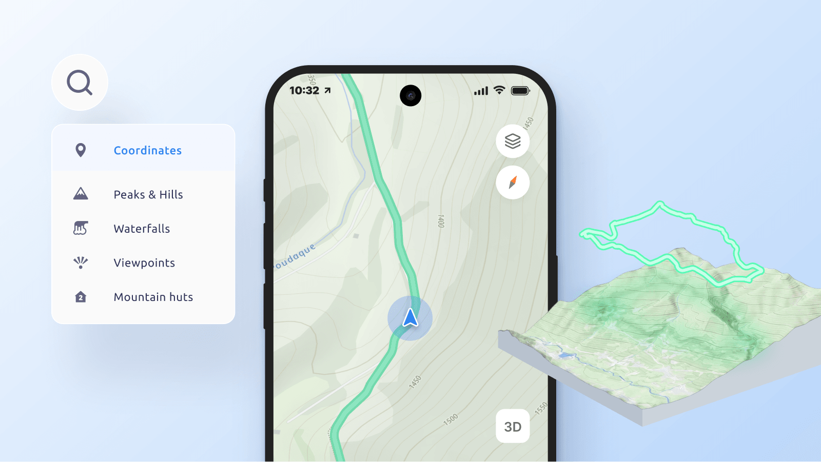
To build an engaging outdoor application, you must complement your perfect hiking map with functional tools that drive user interaction. Here are five features that transform your map into a complete backcountry navigation experience.
Turn your hiking map 3D
While contour lines and hillshading are excellent for technical route planning, an interactive 3D terrain view makes it much easier for the average user to visualize the landscape. Rendering the map in 3D allows hikers to intuitively grasp the scale of upcoming climbs, understand the true shape of valleys, and accurately preview scenic viewpoints and visible peaks.

Switch to a satellite view
Vector maps keep layouts clear, but satellite imagery reveals actual terrain details. A bird’s-eye view helps hikers verify trail surfaces, check tree cover, or locate clearings. When combined with 3D terrain, this imagery creates a photorealistic view, enabling users to scout and explore remote areas before ever arriving at the trailhead.

Add search & geocoding
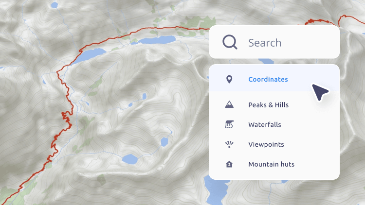
To ensure quick access to critical information, your hiking app needs a search engine tailored for the backcountry. The search functionality must find outdoor points of interest in the hikers' surroundings, allowing them to locate specific geographic features.
Integrate terrain-aware routing
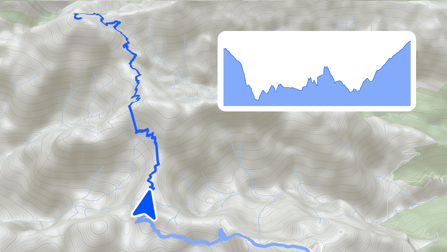
Standard routing calculates distance horizontally. In the backcountry, climbing a steep ridge takes more energy and time than following a flatter path along contour lines. A specialized routing engine evaluates elevation profiles and slope steepness to provide realistic travel times and safer alternatives.
Read about terrain-aware routing
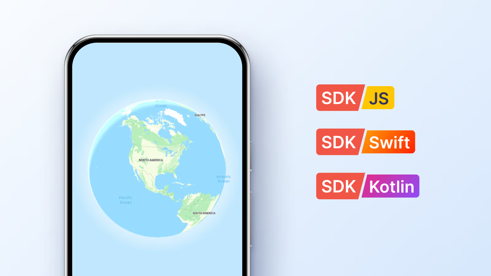
Develop a cross-platform app for web, iOS, and Android
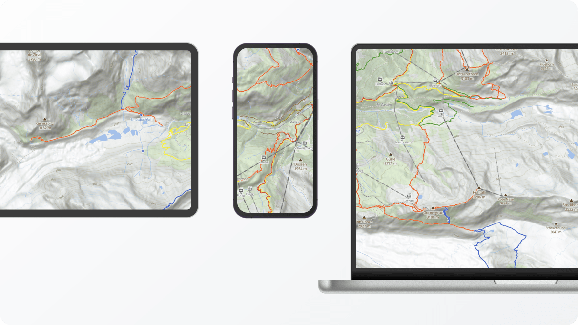
While hikers rely entirely on handheld devices for navigation and real-time tracking in the backcountry, the initial route-planning phase is significantly easier on the large screen of a desktop or laptop.
An outdoor application must provide an identical user experience across all platforms. Ensuring your map engine runs natively in standard web browsers and on dedicated iOS and Android applications.
Read about web SDK Read about mobile SDKs