Whether you are building a coastal monitoring dashboard for maritime operations, mapping flood risks, or tracking vessels along shoreline zones, visual precision at the land-water boundary is critical. A misaligned boundary can make coastal ports look flooded or place offshore data points inland.
To avoid misinterpretations like these, we’ve upgraded the precision of our Land tileset in our latest release. Land v4 delivers updated coastlines and water boundaries designed to align seamlessly with the Planet v4 vector dataset.
What is the Land layer?
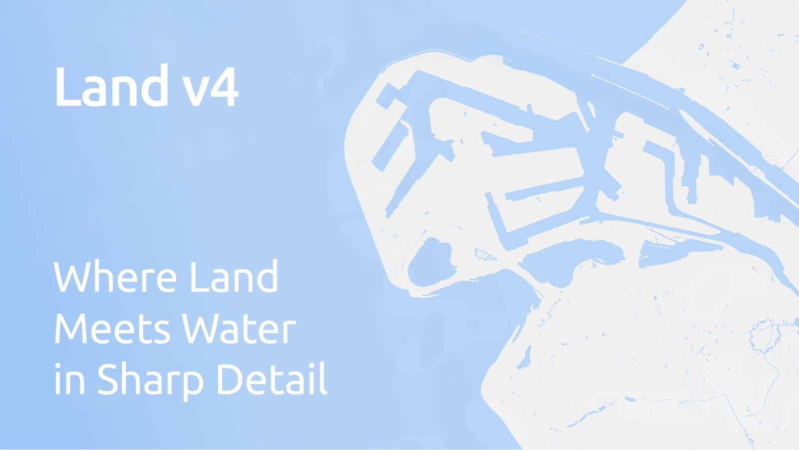
MapTiler Land is a clean map layer that shows only the shape of the world's land, with all oceans, lakes, and rivers cut out. It is not a complete visual map with roads or city names. Instead, it works as a simple background or a visual stencil.
Mapmakers and visual designers use it to:
- Apply Custom Backgrounds: Style or color landmasses independently from the rest of the map.
- Mask Custom Data: Keep data overlays (like weather patterns or heatmaps) contained strictly on land so they don’t expand over the bodies of water.
- Build Simple Visualizations: Create clean, minimalist maps for flight routes or shipping lanes without extra visual noise.
Why upgrade to Land v4?
When we updated our global map data in Planet v4, we refined the shapes of coastlines, rivers, and lakes worldwide. If you use our standalone Land layer alongside Planet v4, keeping both updated is essential for accurately displaying the world on your maps.
Using an older version of land shapes with the newest v4 tilesets and basemaps can cause visible glitches such as coastline gaps or water bleeding onto the land. Land v4 solves this by matching the new water shapes line for line.
Key improvements
- Sharper Coastline Shapes: Updated land shapes that reflect our latest geographic data.
- Seamless Layer Alignment: Built to align with Planet v4 so your map layers stack without visual errors.
- Easy Upgrades: A smooth transition path for anyone updating their maps from our v3 setup to v4.
Get started with Land v4
If you are updating your maps to Planet v4 or building custom map designs, you can switch to Land v4 today in your MapTiler Cloud account.