Hillshade Africa
Download raster tiles for self-hosting
The hillshade layer contains shaded relief of mountains and ads 3D feel into your maps. Suitable for outdoor, topographic, and hazard maps.
Zoom in to preview the details of this dataset. Provided area is marked with a rectangle.
The tiles are generated on zoom levels 0-12.
Download other datasets for Africa:
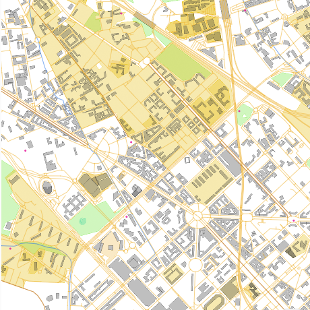
OpenStreetMap vector tiles
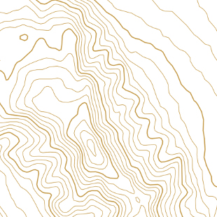
Contour lines vector tiles
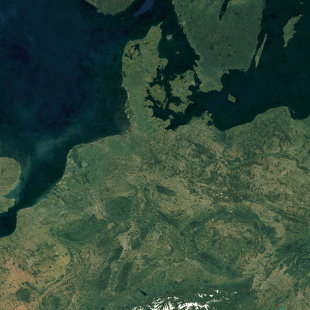
Satellite Medium Res raster tiles
Satellite Low Res (2016) raster tiles
Satellite Highres raster tiles