MapTiler Planet
Our most detailed, global tiled basemap data source for use on the web or in apps by developers via the Maps API.
Outstanding data to build better maps
Quality controlled, up-to-date, reliable mapping at every zoom level.
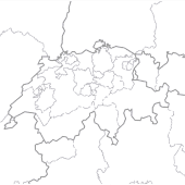
Administrative boundaries
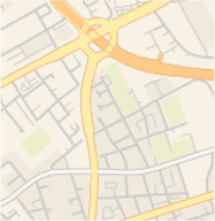
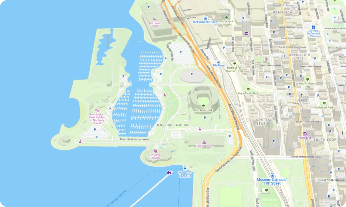
Detailed road network
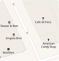
Points of interest
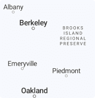
Extensive place names
Enhanced landcover
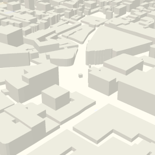
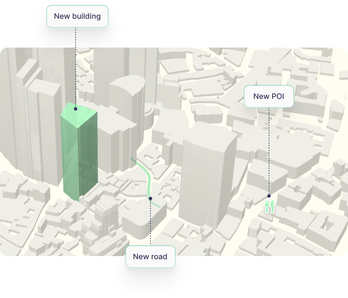
Billions of buildings
More detail than ever before
MapTiler Planet seamlessly integrates data from OpenStreetMap and other open sources into a single dataset for building detailed maps of the whole world.
Billions of extra features
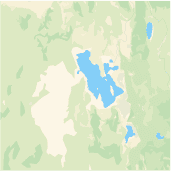
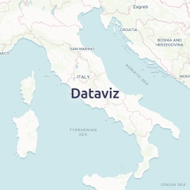
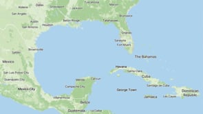
A comprehensive dataset with a unique combination of extensive and authoritative data sources with more than a billion buildings, hundreds of thousands of water bodies, up-to-date boundary lines, archipelago labels, right down to details like POIs and individual trees.
Always up-to-date
Keep your maps synchronized with the real world through bi−weekly updates enabled by our speedy processing. This rapid cycle ensures your users see newly built houses, road changes, and recently opened or closed points of interest.
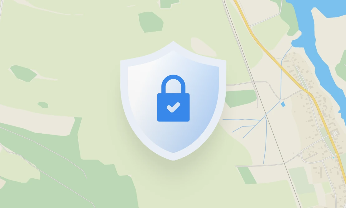
Reliable and authoritative
Deploy with confidence, safe in the knowledge that our in-house quality control protects your maps from vandalism, accidental deletions, and junk data.
Additional datasets
Expand your map with accompanying datasets for even more details.
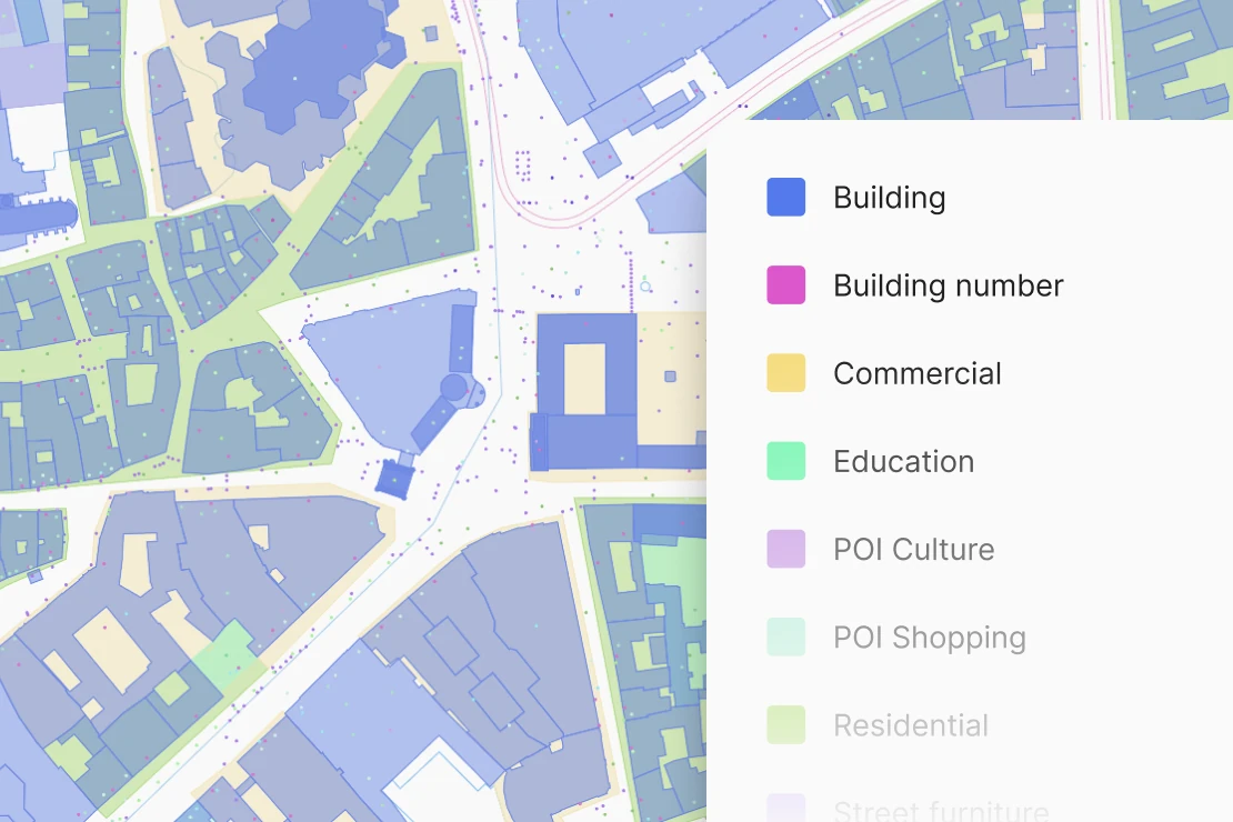
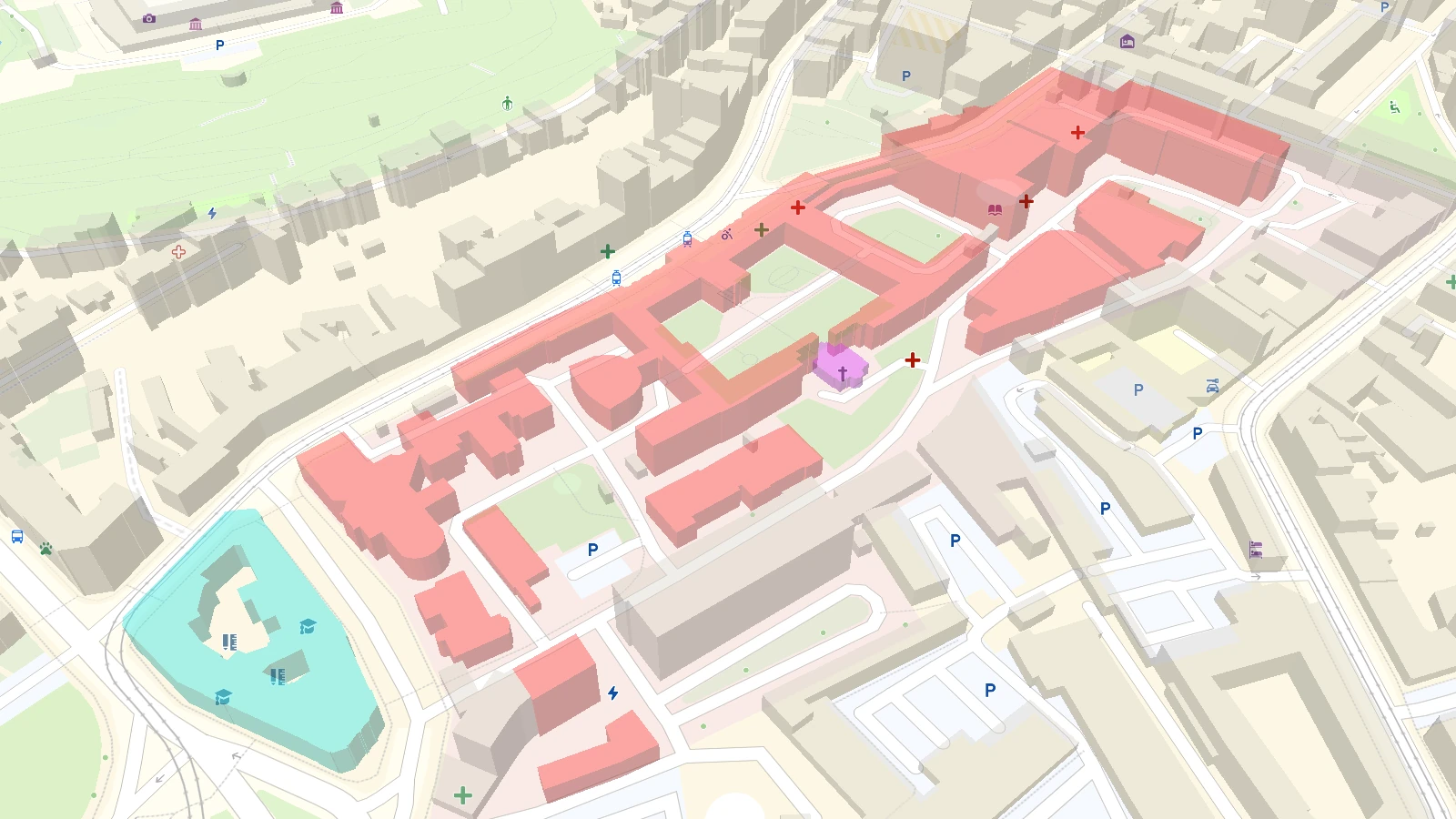
Building details
Get granular control over individual structures to highlight buildings, change their appearance, or display entrance points.
This high-level detail is ideal for indoor-to-outdoor navigation, campus layouts, and conference maps.
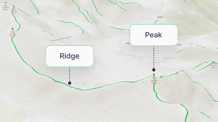
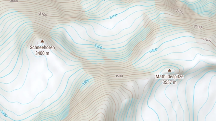
Landforms
Create professional-grade terrain maps by visualizing peaks, ridges, and cliffs alongside global contour lines for flexible, high-end styling.
Built specifically for expert cartography, it provides the essential detail needed for advanced topo and outdoor maps.
Contour lines
Enhance topographic and nautical maps with precise contour lines to visualize the shape, steepness, and height of any terrain.
Easily toggle between meters and feet, or customize styling for specific environments like glaciers and the ocean floor.
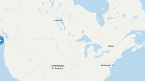
Detailed land coverage
Get a natural-looking basemap with layers organized into a simple and logical structure.
North America contains extra detailed, authoritative land cover on the most zoomed in maps, even in the most remote parts of Canada and the USA.
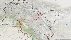
Disputed borders under control
Customize your map to reflect local perspectives on territorial disputes with versatile Worldview settings. This feature allows you to adjust how borderlines are displayed globally according to a selected country.
With over 60 disputed borderlines available, you can instantly switch perspectives to ensure compliance with national regulations and cultural sensitivities.
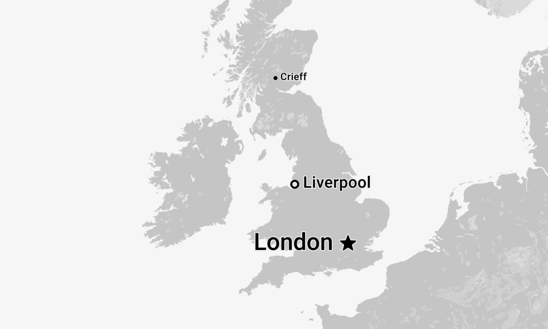
Smart cartography rankings
Map features are ranked by population, popularity, and administrative status. This regularly updated ranking ensures that capital cities and major landmarks appear first.
Data layers are logically separated and intuitively named for effortless developer & cartographer use.


Localized labels
Display country and city labels in the visitor's own language, with support for more than 70 languages.
For easy integration, ISO tags are available for highways, main roads, subway stations, and boundaries.
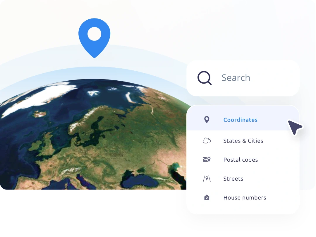
Synchronized with geocoding
Find any feature you are able to see on a map using our Search service.
Start using MapTiler Planet via the API
https://api.maptiler.com/maps/streets/?key=YOUR-API-KEY