
Mobile app for your own maps
Display your maps and collect field data with GPS on a smart-phone or tablet.
Features of MapTiler Mobile
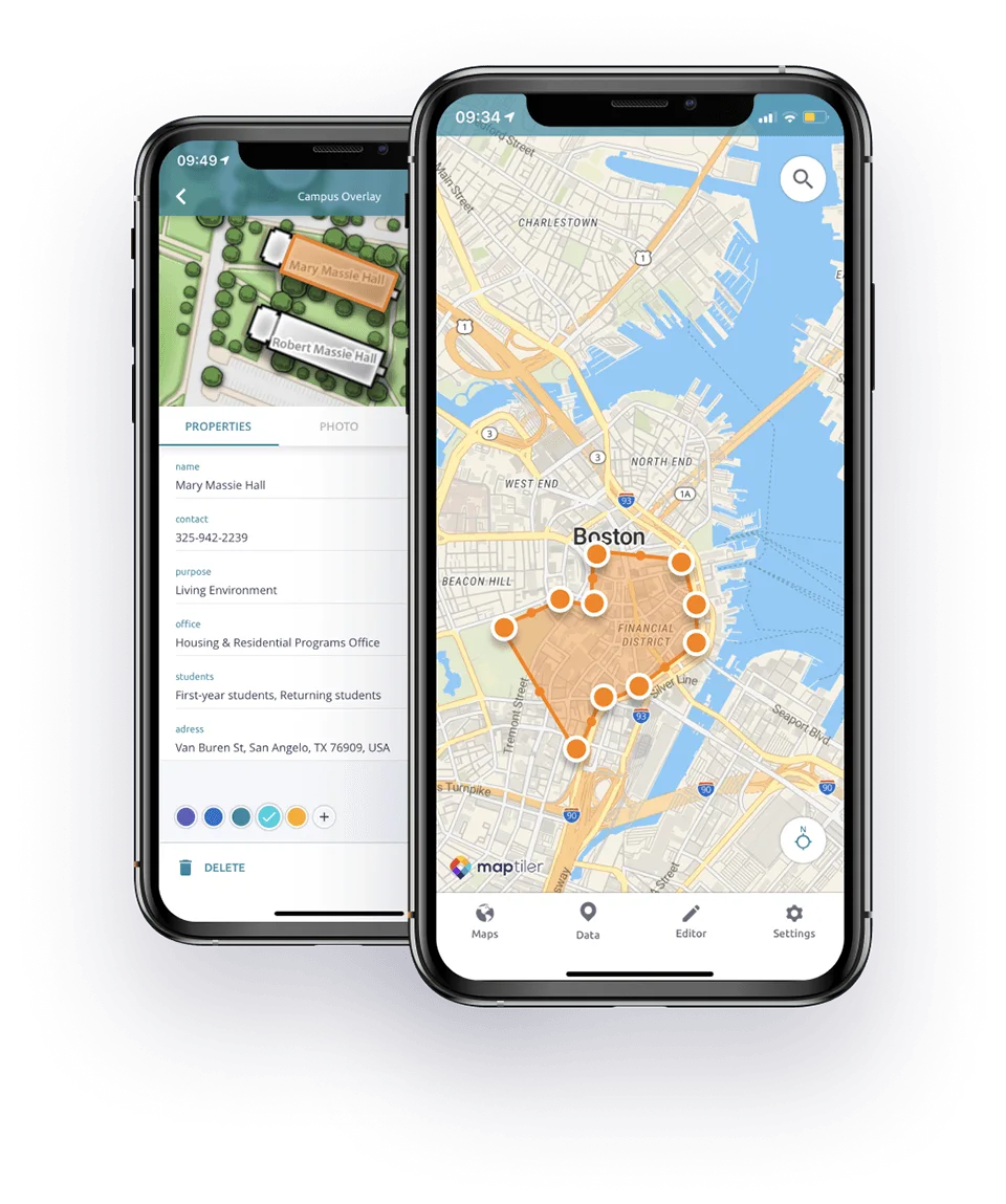
Add points & annotate
Collect field data by creating points, lines and polygons, track your position, add notes, fill custom properties and attach photos.
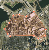
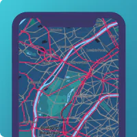
Import your own maps
Load you scanned maps and other overlays and compare it using the opacity slider. Navigate with GPS position.
Offline & data sync
Use all downloaded maps offline, synchronize collected data when you go online.
View your map design
Choose from various basemaps like street and satellite. Preview on a mobile device the map you previously designed with own colors and fonts.
MapTiler Cloud integration
MapTiler Cloud is a map and geodata hosting service. It allows you to store and synchronize data between multiple devices, so you can collaborate on a project with your team.
Data collected with the MapTiler Mobile app is possible to modify on a desktop computer using tools in MapTiler Cloud and share it online.
Create a free account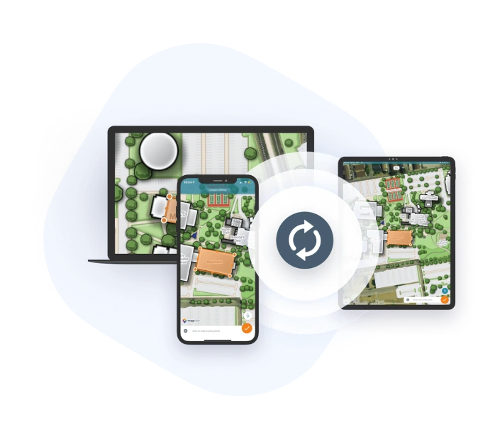
Comfortable drawing tools
Draw points, polygons and lines on top of the maps directly in your mobile device. Collect field data and notes related to a location, attach photos and fill custom attributes for features you make.
Import your own maps into the mobile device
It is easy to import scanned hiking maps, PDF maps, drone aerial imagery, nautical charts for sailing and navigation with a boat or a yacht, fishing maps, aeronautical charts for flight planning by pilots, parcels and city plans and other geodata or open data from local government.
Just use MapTiler Engine to send the maps to the mobile.
Base maps from OpenStreetMap and Google
MapTiler Cloud powers vector maps based on OpenStreetMap. In the online mode, you also get a high-quality global satellite and street maps from Google for your overlays. Custom maps can be added from any tile servers with TileJSON, WMTS or XYZ tiles, including your own self-hosted tile server.
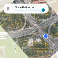
Display GPS position
Precise geolocation is displayed on the maps in your device and can be recorded. Magnetic compass and rotation in the direction you are heading are available too.
Standardized data formats
The app supports GeoJSON and MBTiles formats, transfer via cable or SD card and online synchronization via MapTiler Cloud. Perfect for mobile data collection for GIS and surveys.
Opacity adjustment
The opacity slider gives you a possibility to compare your scanned map with the background map layer - as the app displays the foreground map as an overlay of a selected background map. MapTiler Mobile app supports multiple layers for comparison.
It works even offline
You do not need to be online to work with your map! Just go wherever you want and collect field data related to the particular location and sync when you are back online.