Outdoor map for hiking & biking
Build an outdoor portal or mobile app for hikers, bikers, and other outdoor sports.
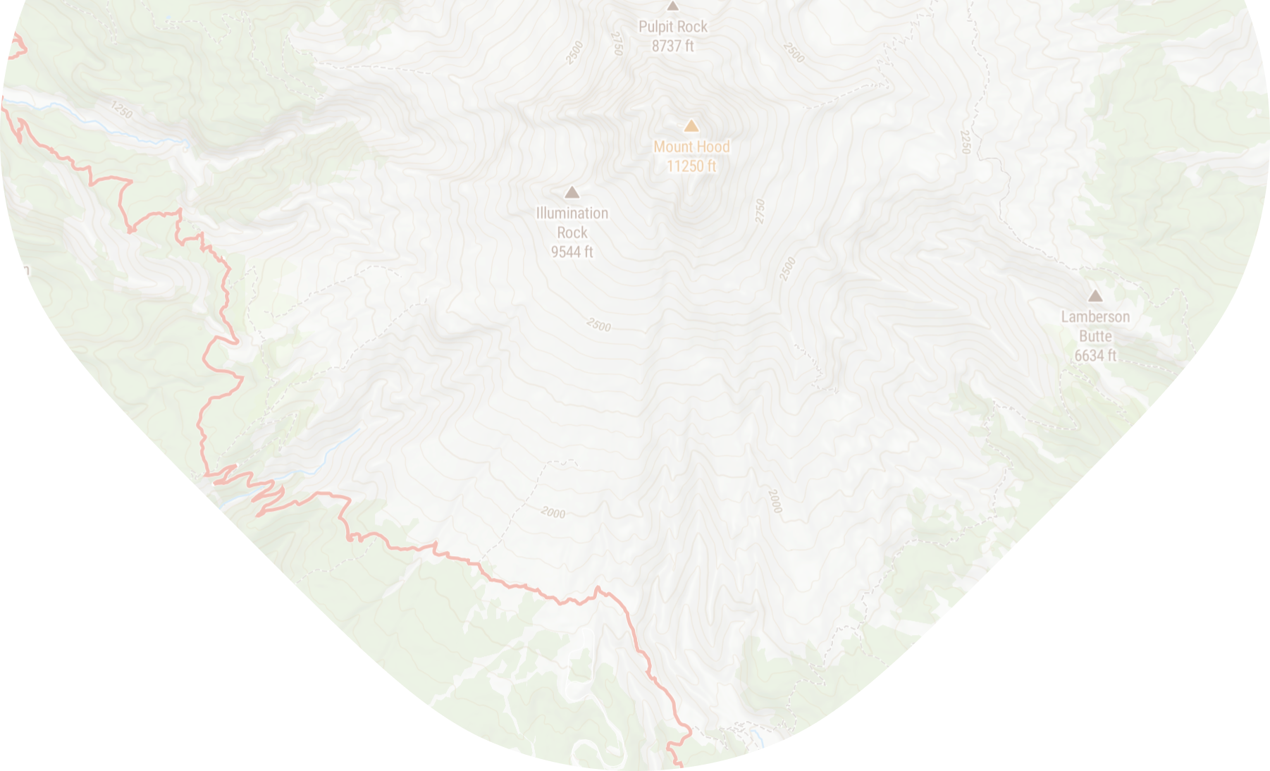
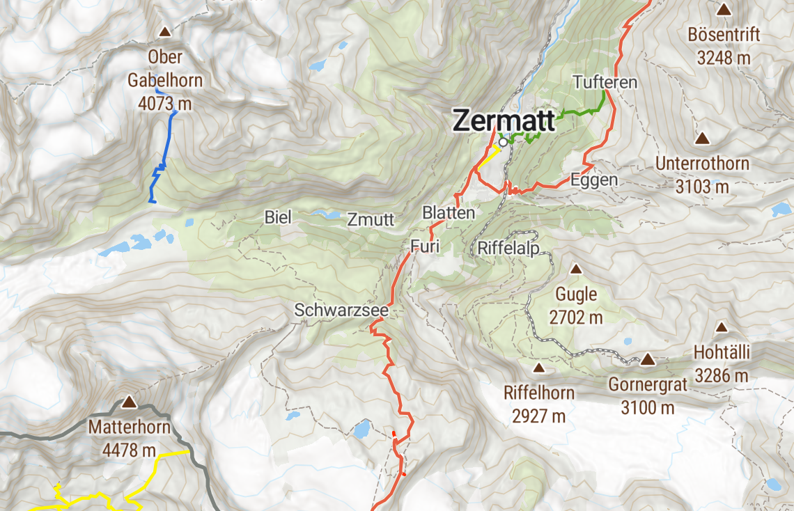
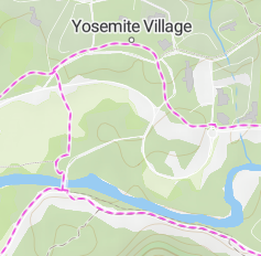
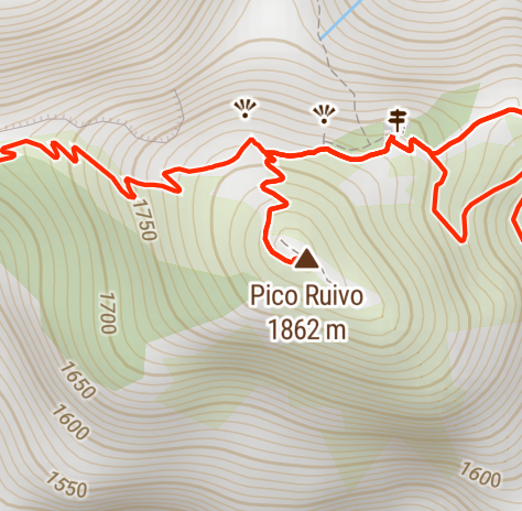
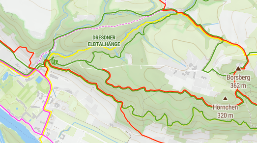
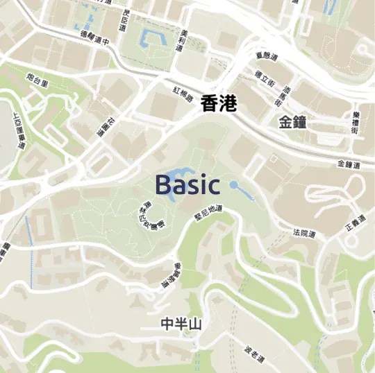
Topographic map with hiking and biking trails
Essential information about the backcountry around you.
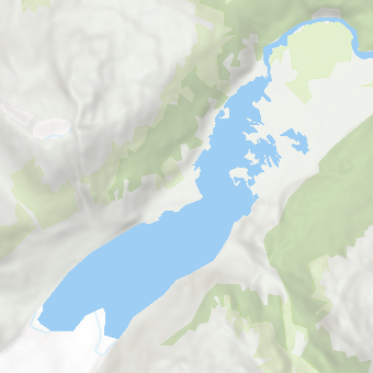
Landcover & natural features
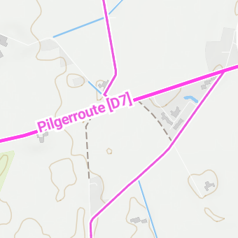
Biking routes
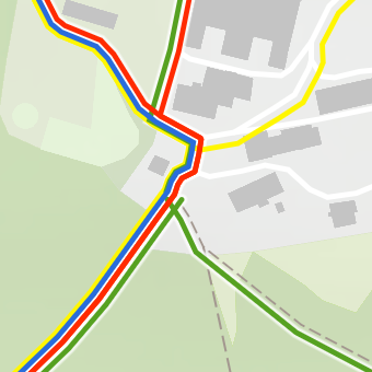
Hiking trails
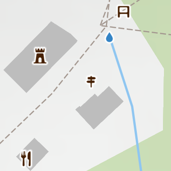
Points of interest
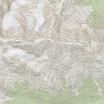
Hillshade & contour lines
Plan your next adventure
Whether you go for a round trip near your hometown or a long-distance trail throughout the country, MapTiler Outdoor guides you along selected routes and valuable points of interest.
The map highlights hiking trails over roads, natural phenomena over the cityscape, and points of interest like shelters, alpine huts, or springs over transportation infrastructure.
Cartographic assets
Outdoor’s color palette highlights natural elements over cities to make orientation in the backcountry easy.

Trails symbology with real-world-like colored tracks for hikers and routes for bikers - easy to switch between them.

Selected points of interest for hikers and explorers are symbolized with meaningful custom icons.
Place names are rendered with the Noto font family with different weights for easy-to-read map labels.

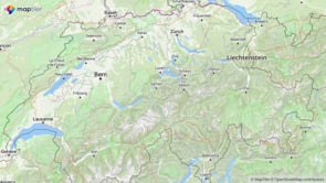
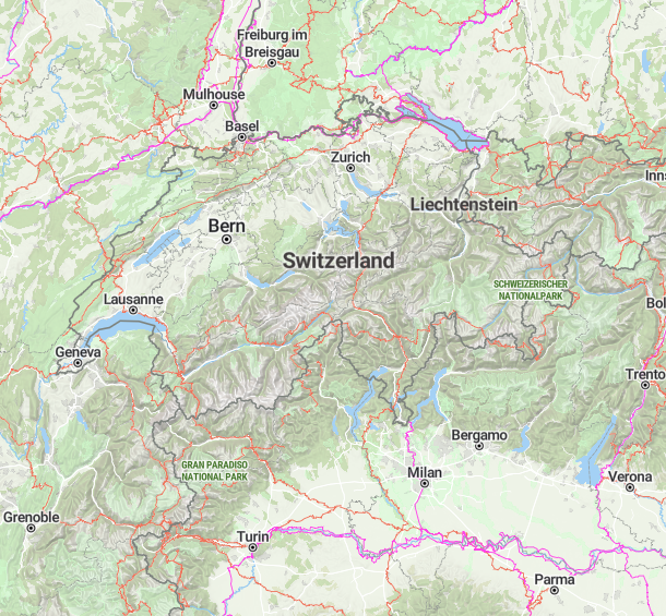
Multiscale topographic map
Explore the countryside on various zoom levels.
Available as:


Other map styles


Start using Outdoor via Maps API
https://api.maptiler.com/maps/outdoor-v2/?key=YOUR-API-KEY