To create a custom map was never so simple. MapTiler converts your map into the high resolution format compatible with Garmin handheld GPS devices.
You can very quickly import any map in only 3 steps: 1) Use MapTiler to create a map from any image 2) Pack the result into .zip archive and rename to .kmz 3) Upload the map into your Garmin handheld device Why not use Google Earth overlay? Compared to the traditional way recommended by Garmin, this approach has several advantages:
- you can import larger maps
- the georeference is much more precise, mainly on large areas
- the process is faster
Just follow the tutorial.
Produced maps are compatible with following devices
- Oregon series
- Dakota 10 and 20
- Colorado series
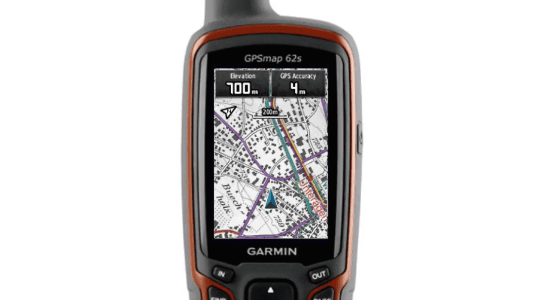
- GPSMAP 62 series
- GPSMAP 64 series
- GPSMAP 78 series
- Rino 600 series
- eTrex 20 and 30
- Astro 320
- Alpha 100
- Edge 810, 800 and 510
- Montana series
- Monterra
- BMW Motorrad Nav V
- zumo 590