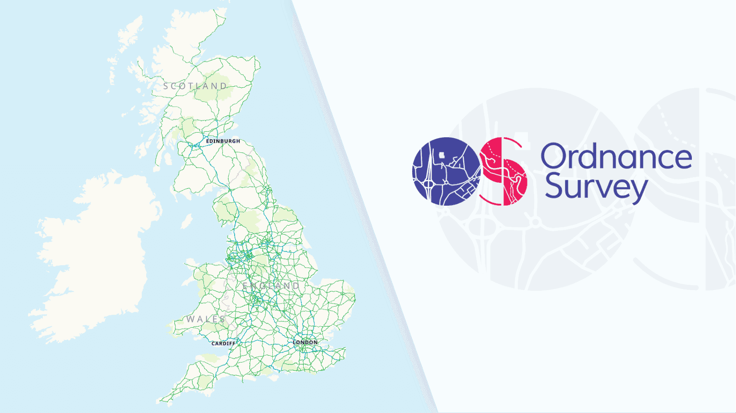
Data from the Ordnance Survey, the national mapping agency of the United Kingdom, is available on MapTiler Cloud. They can be viewed as web maps, in mobile SDKs, or as a GIS service (WMTS) with its own map design.
Custom map design for Ordnance Survey data
Official data from the UK Government can be used either on a separate map covering only Great Britain or mixed with global data into one map.
Ordnance Survey maps via free maps API
Ordnance Survey maps are now available for everyone, even with the Free plan. You can find them after you Sign in to MapTiler Cloud, click on Maps on the left menu, and scroll down.
Currently, you can see here four default map styles - Light, Outdoor, Road and Night. All of them are based on the same source, but each has data suitable for a specific use case and it is styled differently. Map styles can be easily adjusted in the Customize tool. It allows you to overlay the Ordnance Survey map over the global map based on OpenStreetMap, add your own data, or do more advanced edits.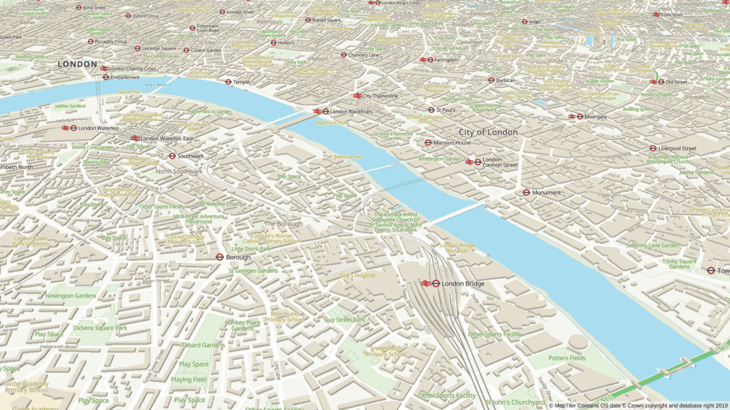
OS Open Zoomstack map services via WMTS
These maps contain vector data from Ordnance Survey Open Zoomstack datasets. It includes buildings, transportation, landcover, administrative layer, and contour lines. All data and styles can be found on the Ordnance Survey web page.
Ordnance Survey Open Zoomstack maps are also available as a WMTS with own map style from reliable infrastructure
The internal structure of Open Zoomstack is similar to OpenMapTiles and it can be modified using the same tools.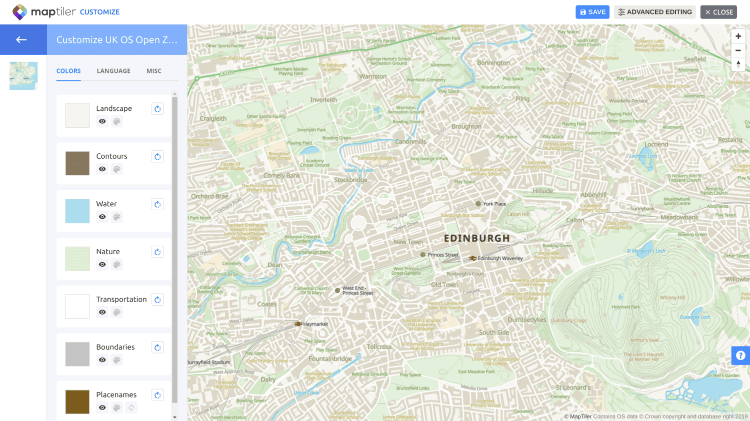
Available on MapTiler Cloud with the Free plan
Maps from the Ordnance Survey are available to everyone via Maps API, including users with the Free plan.