We are proud to announce MapTiler France, your hub for products and services in France! Map design inspired by the French cartography, high-resolution satellite imagery, and contact to a local expert in Lyon can be found there.
Maps for our French users
A set of beautiful map styles can be directly used in your mobile or web applications, including Pastel and Topographique inspired by the legacy of French cartography. The Customize tool can be used to change colors or add your own fonts for a map fitting your company brand or use case. Country and city names from all over the world can be displayed in French but also in 60 other languages, including regional Basque/Euskara, Occitan, or Corsican.
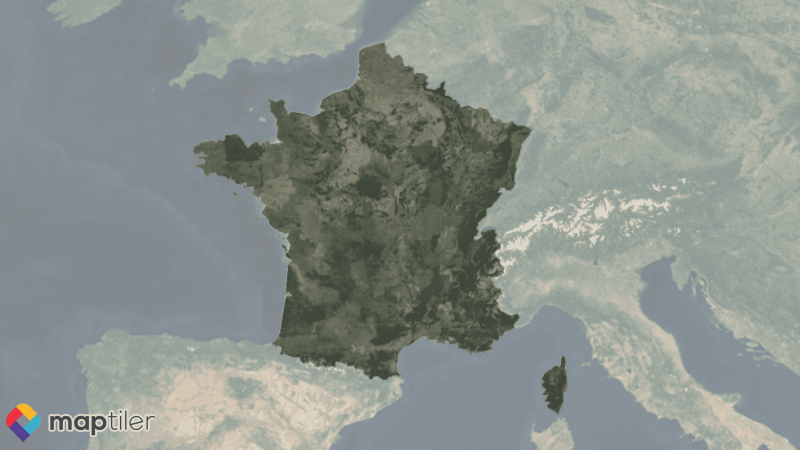
High-resolution satellite map
Imagery with a resolution of 20 cm/px from almost 70 French départements is progressively being deployed into our satellite map. This update includes the ORTHO HR® aerial images available from Institut Géographique National (IGN) as open data. They allow a much deeper zoom and provides better experiences at large scale, up to 1:1000 (z18). This nicely complements the recent update with Airbus SPOT imagery which introduced a minimal resolution of 1.5m/px all over France. You can already zoom in Paris, Toulouse, Marseille, Nice, Saint-Etienne, Dijon or Lille to see how it looks!
Tiles in the French Coordinate System Lambert 93
Vector and raster tiles in Lambert 93 (EPSG:2154) can be processed using MapTiler Engine, uploaded to MapTiler Cloud, and displayed using the OpenLayers 6 JavaScript viewer.
MapTiler.FR, your maps gateway in French
Head to MapTiler.FR to read more about MapTiler products in French, and follow @MapTiler_FR for news and updates! Contact us in French for sales requests and expertise on MapTiler for the French geospatial ecosystem.
A+ !