Self-host satellite maps
Aerial and satellite imagery of the entire world from your own server or laptop
High-res aerial imagery
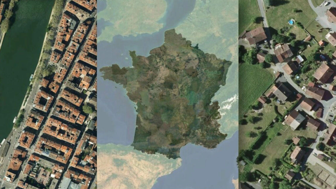
Get the high-resolution aerial imagery of the USA, Europe, and Japan. With resolution up to 8cm/px, you can browse the very fine details.
Use it on offline laptops, in secured private clouds, on highly-critical emergency centers, or for high resource-demanding machine-learning tasks that creates derivate data.
Download DataCheck the resolution in your area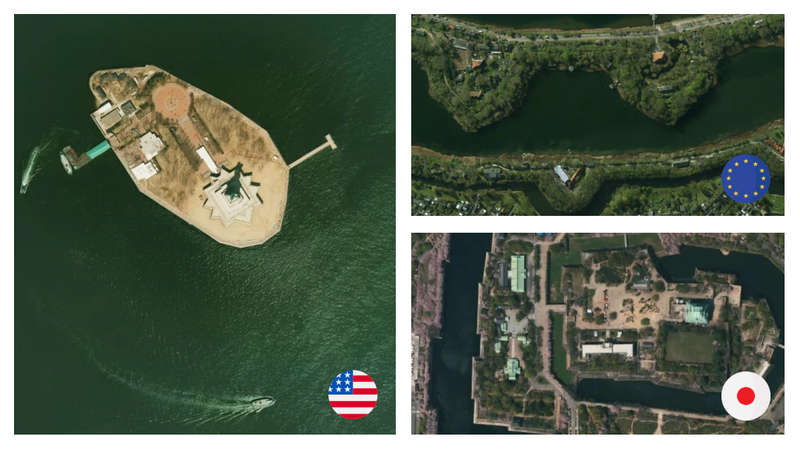
Entire world on-prem
Download cloudless mid-res imagery of the entire planet. With a resolution of 10m/px, you can easily spot any house in the whole world.
Try low-res for free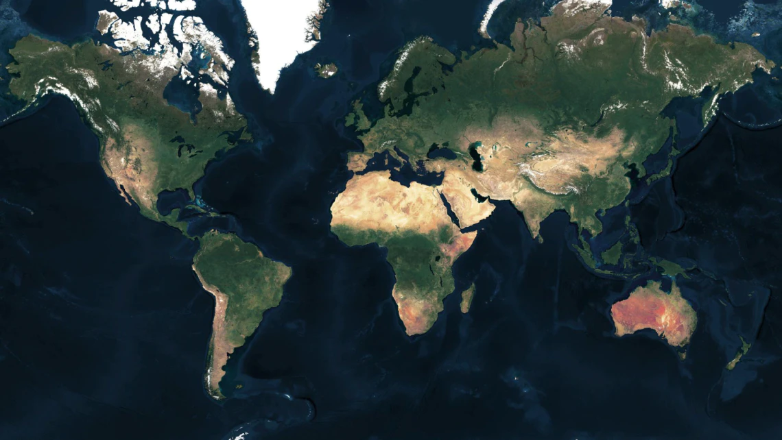
Mosaic from various sources
Combine multiple satellite, aerial, and drone imagery into one color-toned map.
Add context to your aerial maps by blending street data with road networks for a hybrid map.
Read documentation3D terrain with satellite map
Add satellite map on top of the 3D terrain to get a photorealistic views.
Use CesiumJS library to make it run in any modern web browser or mobile app.
How to combine 3D terrain and satellite map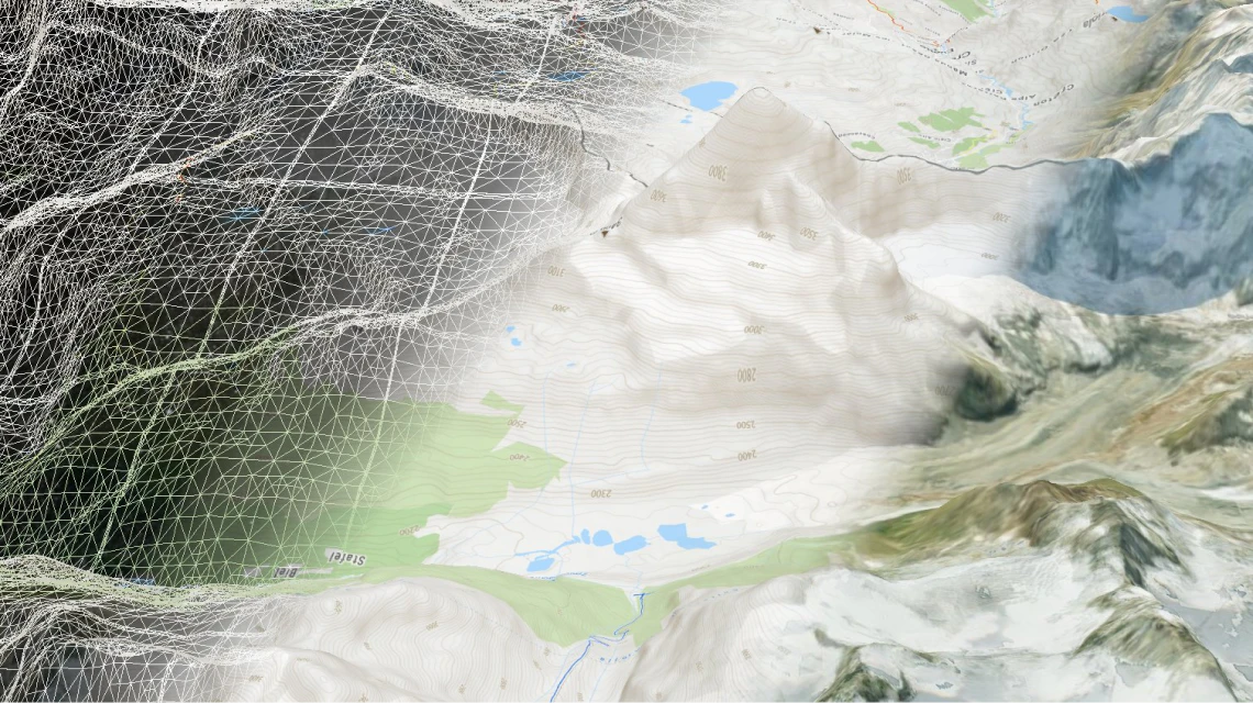
Available as:

Raster tiles
Leaflet, OpenLayers, XYZ

Map services
WMTS for QGIS or ArcGIS

Static maps
Image for thumbnails
Linux
- Ubuntu 20.04+ (primary support)
- Debian 10 (tested)
- RHEL 8 (tested)
- Fedora 37+ (tested)
- Centos 9+
- Mint 6 or 20+
Windows
- Windows 10+
- Windows Server 2019+
macOS 10.15+
(without map rasterization, limited support)
Docker
- MBTiles, GeoPackage
- WMTS
- WMS (only with commercial license)
- TileJSON
Tiles
- raster .mbtiles *
- vector .mbtiles *
- raster .geopackage *
- quantized mesh terrain (3D) .geopackage *
- tiles from PostGIS geometries
- free version supports only tiles from MapTiler Data or produced by MapTiler Engine
Maps
- Mapbox style
Tiles
- complete EPSG database + custom defined SRS via Proj4. Over 6000 systems world-wide
Maps
- Mercator sources only
Tiles serving
- 2 CPUs
- 2GB RAM
- 200MB disc free capacity for installation (additional for tiles)
Maps rasterization (whole planet)
- 4 CPUs
- 16GB RAM
- 100GB for tiles, fonts and other assets Read more about the performance tips here.
Raw rasterization performance is approx 3 tiles/sec on single core and Server does not solve caching by its own. Therefore setting a reverse proxy cache in production is highly recommended. Rasterization performance can be tuned in server settings/rasterization. Setting renderer pool size higher than CPUs count can slightly increase throughput but beware that every renderer allocates its own memory space.
- Google Earth
- ArcGIS for Desktop
- QGIS (Quantum GIS)
- Tableau
- uDIG
- any viewer supporting OGC WMTS
- Google Maps SDK for iOS
- Google Maps SDK for Android
- MapLibre iOS SDK
- MapLibre Android SDK
- Apple MapKit
- RouteMe
- OSMDroid
- any viewer supporting OGC WMTS or TileJSON
Free
- Only reads data downloaded from MapTiler Data or data made with MapTiler Engine
- Rasterization with watermark
- Rendering from PostgreSQL limited to 1 layer only
Commercial
- Reads any MBTiles or GeoPackage data
- Rasterization without watermark
- Unlimited layers from PostgreSQL
- Admin API available
- WMS/Static Maps available
Software for processing satellite/aerial imagery
Do you have your own raster data? Process them on your computer using software with a user-friendly interface.
We also offer a scalable solution that can process petabytes of data, like aerial imagery of entire country, on a cluster of computers.
Discover EngineContact sales for cluster solution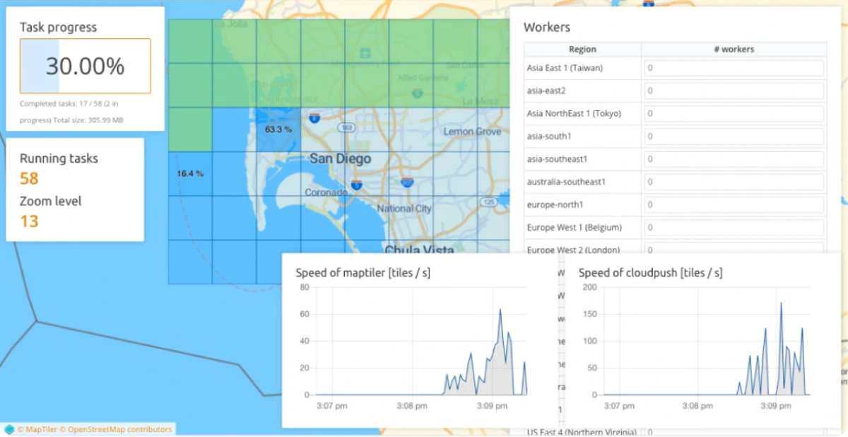
Read latest news about MapTiler Server
Try MapTiler Server now!
Available for Windows, macOS , Linux, and Docker as a single file installer.

